|
<< Click to Display Table of Contents >> Importing DIGGS Data |
  
|
|
<< Click to Display Table of Contents >> Importing DIGGS Data |
|
The DIGGS (Data Interchange for Geotechnical and Geoenvironmental Specialists) project involves the development of a GML (XML-based) geospatial standard for the transfer of geotechnical and geoenvironmental data within an organization or between multiple organizations. DIGGS is provided by ASCE's Geo-Institute and more information can be found on their website at:
https://www.geoinstitute.org/special-projects/diggs
Multiple borings/wells can be imported from a single DIGGS format file. To import borehole data from a DIGGS format file, open a project and select File > Import > DIGGS Data. The specify file form below will be displayed.
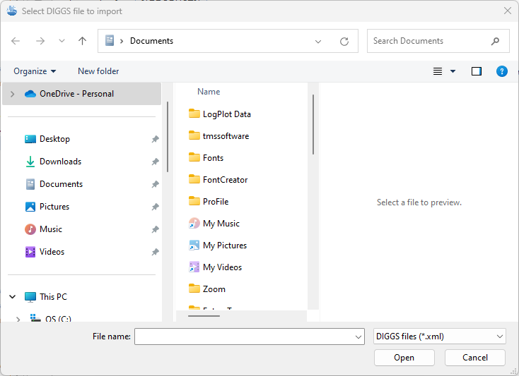
Specify the name of the file and click on the Open button. The Select Boreholes form below will be displayed.
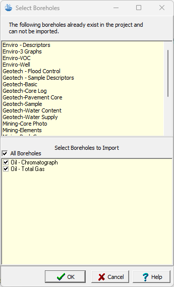
This form will show any existing boreholes in the file that are already in the project at the top. These boreholes will not be imported. At the bottom of the form boreholes that are not already in the project can be selected for import. After they have been selected, click on Ok. The next step is to specify the data to be imported. A wizard form is used to guide you through this process. This wizard guides you through the steps required to import the data and is discussed in the topics below.