|
<< Click to Display Table of Contents >> Aquitard |
  
|
|
<< Click to Display Table of Contents >> Aquitard |
  
|
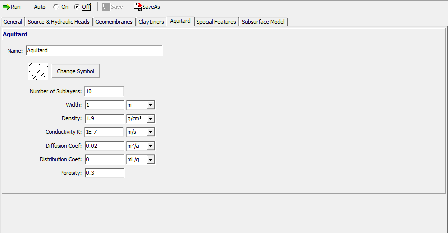
To edit the aquitard data for a model click on the Aquitard tab on the left side of the model form. Note that this layer is an attenuation layer beneath the Clay liner. It is typically a layer with a hydraulic conductivity higher than that required for a clay liner (1x10⁻⁹ m/s) but less than an aquifer.

The data entered for the aquitard is the same as that for a Primary Landfill model and is described in that section.