|
<< Click to Display Table of Contents >> Top Points Tab |
  
|
|
<< Click to Display Table of Contents >> Top Points Tab |
  
|
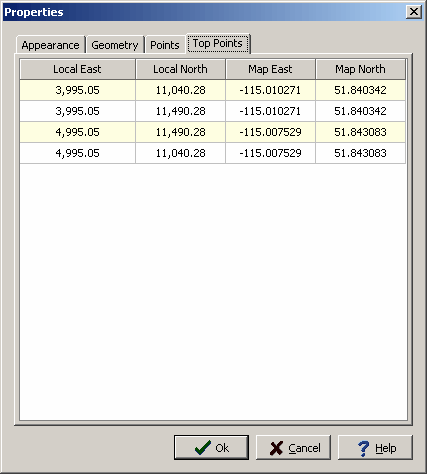
If the structure type is a building, shaft, or excavation this tab will be displayed. The tab lists the boundary points of the top of the structure. For rectangular buildings and shafts there will be four points and for irregular buildings and excavations there will be a point for each vertex in the structure. If the structure has vertical sides the points will be the same as the base points. If a slope is specified in the Geometry tab, these points will be re-calculated by the program when the form is opened.

The following can be edited on this tab:
Local Easting: This is the minimum east position of the point in local units.
Local Northing: This is the minimum north position of the point in local units.
Map Easting: This is the minimum east position of the point in map units.
Map Northing: This is the minimum north position of the point in map units.