

Choosing contaminant transport software should begin with the conceptual site model and the decision the analysis must support. A model is useful when its representation of sources, pathways and receptors is appropriate to that decision. Adding dimensions or parameters does not automatically make an assessment more reliable. The assumptions and supporting evidence still determine what the results mean.
POLLUTE and MIGRATE address related modeling needs, but they are not interchangeable for every project. This guide explains their central distinction and provides a practical selection process for landfill, containment and groundwater impact assessments. The aim is to select a suitable model, identify the evidence it needs and produce results that another technical reviewer can understand.
Begin with the decision, not the software
Write the modeling objective as a specific question. For example: how does a proposed barrier thickness affect the predicted concentration at an underlying aquifer? Alternatively, how might releases from adjoining landfill cells combine along a section through the site? These questions require different representations even when they concern the same contaminant and facility.
Define the output that will inform the decision: concentration at a location, arrival time, long-term concentration trends or the relative performance of design alternatives. Identify the assessment period and the location or interval being evaluated. A concentration calculated beneath a source cannot automatically be treated as the concentration at a distant monitoring well. The relationship between model output and the decision must be explicit.
POLLUTE and MIGRATE: the main distinction
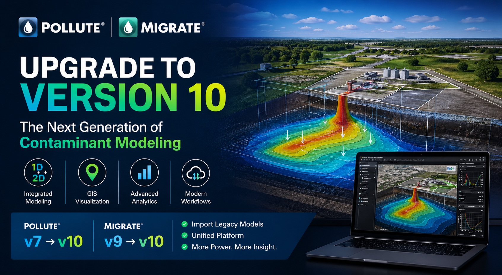
GAEA describes POLLUTEv10 as a 1.5-dimensional model and MIGRATEv10 as a two-dimensional model. POLLUTE emphasizes vertical transport through layered and engineered systems, with extensive special features. MIGRATE provides a 2D representation useful for spatial transport and multiple sources. Both use efficient analytical or semi-analytical approaches. See the POLLUTE and MIGRATE product overview for the current comparison.
The 1.5D label should not be interpreted as a general two-dimensional site simulation. Explain the selected model’s actual representation and assumptions in the assessment. Equally, a 2D model represents a chosen plane; it does not automatically capture all three-dimensional flow paths or an arbitrarily complex geological setting. Dimensionality is one selection criterion, alongside supported processes and boundary conditions.
When POLLUTE deserves consideration
POLLUTE is a candidate when the principal question concerns transport through a layered profile or containment system that can reasonably be represented using its assumptions. GAEA lists capabilities including finite-mass sources, sorption, first-order decay, layered systems and multi-barrier configurations. Its current overview also describes time-varying properties and geomembrane or leachate collection system failure scenarios.
Consider an illustrative design study comparing two barrier configurations beneath a proposed waste facility. If the decision concerns the effect of those layers on migration toward an underlying aquifer, begin by examining whether a POLLUTE representation captures the controlling processes. Establish a common source description, material-property basis and output location before comparing alternatives. Otherwise, differences in results may reflect inconsistent inputs rather than the design change.
This does not mean every landfill problem belongs in POLLUTE. A layered section may be a useful part of an assessment while leaving important spatial questions unresolved. State which part of the project the model addresses, and identify any additional analysis needed to connect its results to the wider site.
When MIGRATE deserves consideration
MIGRATE becomes relevant when the position and interaction of sources within a two-dimensional representation matter to the question. GAEA’s MIGRATEv10 feature guide describes vertical and horizontal contaminant transport, source boundary options, sorption and decay. Confirm the particular feature combination against the documentation for the version you will use.
Imagine two landfill cells that begin operating at different times. A receptor along the modeled section may be influenced by different release histories. Treating those cells as one uniform source could obscure the timing or location of their contributions. A 2D formulation may help address that question, provided the geometry, source histories and hydrogeological assumptions are suitable. This is an illustrative selection example, not a prediction for an actual site.
Before adopting the additional spatial detail, establish what supports it. The orientation of the section, distances between sources and receptors, and the representation of subsurface units all need a defensible basis. If the available evidence cannot distinguish plausible geometries, evaluate that uncertainty instead of presenting one detailed section as uniquely established.
Use these comparison questions to narrow the choice
- Decision: Which result will change a design, investigation or management action?
- Geometry: Is transport through a layered profile adequate, or does spatial interaction control the answer?
- Sources: How many sources are present, and do their locations or histories differ materially?
- Processes: Which transport, attenuation and time-dependent mechanisms must be represented?
- Evidence: Which inputs are measured, inferred or assumed, and how uncertain are they?
- Review: What justification and output documentation will the project reviewer require?
Answer these questions in a short selection note before building the production model. Where a required capability is uncertain, identify it as an item to verify with GAEA. A feature described for one product or version should not be assumed to operate identically in the other. More spatial detail also does not imply that every special feature is available.
Build a conceptual model that the calculations can represent
Summarize the source, migration pathway and receptor using a clear diagram and accompanying text. Identify the relevant layers, hydraulic conditions, source footprint and assessment location. Explain which physical features have been simplified and why those simplifications are acceptable for the stated objective. This conceptual description should be understandable before anyone sees a software input screen.
Then check that the mathematical representation is consistent with that description. A boundary intended to represent a continuing source is not equivalent to a finite inventory. A change in source concentration is not necessarily the same as a change in groundwater movement. Label these assumptions carefully so the model reflects the intended scenario rather than the most convenient input option.
If the assessment depends on processes or geometry outside either tool’s supported assumptions, reconsider the approach. The appropriate response may be a different formulation, additional investigation or a combination of analyses. Choosing between POLLUTE and MIGRATE is useful only after confirming that the candidate model can represent the question adequately.
Prepare the inputs and preserve their basis
Develop an input register linking each parameter to its source, units and rationale. Depending on the formulation, relevant information may include layer thicknesses, hydraulic properties, porosity, transport coefficients, source concentrations and attenuation parameters. Record how each value was selected and distinguish direct measurements from literature values or professional judgment.
Unit consistency deserves an explicit check. Length, time, concentration and mass conventions must agree throughout the model. A plausible-looking graph can conceal a conversion error. Have another reviewer trace a few important inputs from the original information into the model, including any transformations or averaging used along the way.
Do not add unsupported precision to compensate for missing evidence. Where an important property is poorly constrained, define a justified range and test its effect. If a reasonable range changes the project conclusion, that finding may support further data collection. Model selection and investigation planning should inform each other rather than proceed as unrelated tasks.
Plan sensitivity analysis around the decision
Start with a documented reference case, then define alternative cases that answer specific questions. Changing one parameter at a time can show how that assumption influences an output. Combined scenarios can explore plausible conditions that occur together. Explain the reasoning for each scenario; an arbitrary collection of extreme values may be physically inconsistent even if it produces a large concentration.
Compare more than a single peak value. Depending on the objective, timing, duration and the shape of a concentration history may affect the interpretation. Check that the chosen assessment period is long enough to address the question. Keep output locations consistent across cases, and explain any change in representation between the models.
Where both tools can represent a deliberately simplified common problem, comparison can be a useful diagnostic exercise. Match the assumptions first and investigate differences. Agreement does not prove that the site conceptualization is correct, while disagreement does not by itself establish that one product is unsuitable. The comparison is meaningful only when the modeled problems are genuinely comparable.
Review results before drawing project conclusions
Separate checking the model setup from assessing its fit to site evidence. Setup checks ask whether geometry, inputs, boundaries and outputs were entered as intended. Comparison with observations asks whether the representation is consistent with available measurements. Neither task should be replaced by an attractive contour plot or a smooth breakthrough curve.
When monitoring data are available, consider their spatial and temporal relevance. A sample from one screened interval may not represent the same quantity as a model output elsewhere in the section. Document those differences before interpreting a mismatch. Avoid changing uncertain parameters solely to improve agreement without considering whether the adjusted values remain plausible.
For a reviewed submission, establish expectations early with the project’s technical reviewer. Software selection alone does not establish acceptability. The report should explain the question, model basis, input evidence, uncertainty and limitations. Any comparison with an applicable assessment criterion should identify its source and show that the modeled quantity and location are appropriate to that comparison.
Make the selection reviewable and reproducible
Keep a concise record of why the chosen software is appropriate, including its version and the features used. Archive the input files, parameter register, scenario descriptions and outputs together. Give cases meaningful names and retain enough information for a colleague to reproduce the analysis without relying on the original modeler’s memory.
The strongest selection is the one that captures the processes controlling your decision with assumptions you can explain and evidence you can defend. POLLUTE may suit a layered containment assessment; MIGRATE may suit a question requiring two-dimensional spatial relationships. In either case, model quality depends on careful conceptualization, supported inputs and disciplined review.
Need help evaluating the fit? Contact GAEA Technologies with a conceptual section, the modeling objective, anticipated source conditions and the output you need. Use that discussion to confirm required capabilities and identify a representative example to test before committing to the full assessment.