

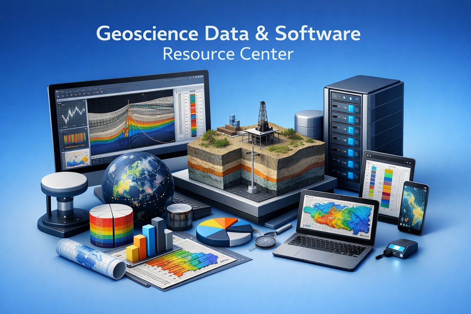
Welcome to your centralized hub for geotechnical and environmental knowledge. Explore expert guides, workflows, and best practices.
Start with the topic that matches your workflow challenge.
Borehole Data Solutions

Efficiently capture, store, and manage borehole logs, stratigraphy, and field observations in a centralized database.
Geotechnical Data Management

Explore best practices for managing geotechnical data across the full project lifecycle—from field collection to analysis and reporting.
Environmental Data Management

Learn how to integrate laboratory results, field data, and regulatory requirements into a single, streamlined system.
Sub-surface Visualization

Transform complex subsurface data into clear, visual models that improve interpretation, communication, and decision-making.
GaeaSynergy Platform

Dive into the capabilities of the GaeaSynergy Platform, including centralized databases, integration tools, and reporting automation.
Environmental Site Assessment Automation

Discover how automation reduces manual effort in environmental site assessments, improves consistency, and accelerates reporting timelines.
Contaminant Transport Modeling

Understand how contaminant plumes move through soil and groundwater, and how modeling tools support risk assessment and remediation planning.
Geoscience Data Digitization

Geoscience data digitization is the foundation of modern subsurface intelligence. Across oil & gas, mining, environmental, and infrastructure projects, vast amounts of critical data remain locked in legacy formats.
Frequently Asked Questions

Find answers to common questions about licensing, deployment, workflows, integrations, and more.
Training and Tutorials

Access step-by-step tutorials, onboarding materials, and best practices to help your team get the most out of your software tools.
Security and Governance

Learn how to manage user access, maintain data integrity, and ensure compliance with regulatory and organizational standards.
Borehole QA/QC
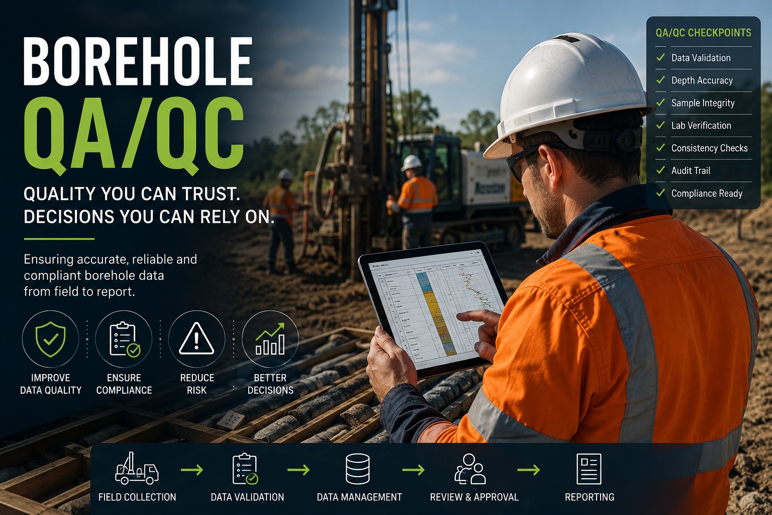
Build accurate, consistent, traceable, and technically defensible borehole data with practical guidance on validation, review, governance, standards, and discipline-specific QA/QC.
Latest Posts
- The Business Case for EDMS and E-ASR: Calculating Environmental Reporting SavingsA practical framework for quantifying environmental data-management and reporting effort before evaluating EDMS and E-ASR.
- EDMS vs Spreadsheets and LIMS: Which Environmental Data Workflow Do You Need?Compare the roles of spreadsheets, laboratory information management systems and EDMS in an environmental project-data workflow.
- A Complete Geotechnical Workflow for Infrastructure Projects: WinLoG, GDMS and WinFenceSee how WinLoG, GDMS and WinFence can support a connected geotechnical workflow from field records to testing and subsurface interpretation.
- Why Legacy Geotechnical Data Is Becoming a Migration RiskA geotechnical archive can look secure while becoming progressively harder to use. Project databases still exist, finished borehole logs are stored as PDFs, and an experienced team member knows where to find the original files. Yet none of those conditions guarantees that the information can be moved reliably into another system. Legacy geotechnical data migration… Read more: Why Legacy Geotechnical Data Is Becoming a Migration Risk
- A Complete Environmental Consulting Workflow: WinLoG, EDMS, E-ASR and GaeaSynergyFollow a connected environmental consulting workflow from borehole and field records through laboratory data, review and site-assessment reporting.
News Releases
-
GAEA Software Development Roadmap: Building the Next Generation of Geoscience Data Workflows
Geoscience and engineering organizations are managing more information than ever before. Borehole and well logs, laboratory results, environmental data, legacy databases, scanned field records, maps, cross-sections, photographs, regulatory information and project documents all need to remain usable long after the original investigation has been completed. At the same time, many organizations are facing another challenge:…
-
Introducing WinLoG Validation & QA/QC—Included in WinLoG 10 at No Additional Cost
GAEA Technologies is pleased to announce the release of WinLoG Validation & QA/QC, included in WinLoG version 10 at no additional cost, bringing automated data-quality checks to borehole and well logging workflows. Reliable logs depend on reliable underlying data. Missing sample identifiers, inconsistent measurements, and conflicting observations can be difficult to spot during routine review.…
-
MIGRATEv10: A Powerful New Standard in 2D Contaminant Transport Modeling
GAEA Technologies is proud to announce the release of MIGRATEv10, the latest evolution in contaminant transport modeling software designed to deliver enhanced accuracy, flexibility, and insight for environmental professionals. MIGRATEv10 introduces advanced two-dimensional (2D) modeling capabilities, enabling users to simulate both vertical and horizontal contaminant migration within complex subsurface environments. This provides a more realistic…
-
GaeaSynergy Launches Three Powerful New Dashboards to Transform Data Visibility and Project Intelligence
GaeaSynergy, a leading platform for geoscience data management and visualization, is proud to announce the release of three new integrated dashboards: the Main Dashboard, Project Dashboard, and Network License Dashboard. These new tools are designed to deliver real-time insights, streamline workflows, and enhance decision-making across geotechnical, environmental, and geological projects. Together, these dashboards represent a…
-
Stop Guessing, Start Calculating: Free Drilling Utilities from GAEA
February 2026: Accuracy in the field is the foundation of every reliable site investigation, but manual calculations and paper charts can be a major bottleneck. We’ve recently featured a suite of free Drilling and Sampling Utilities from GAEA Technologies that every field professional should have in their digital toolkit. These tools are designed to take the guesswork…
Our Story
-
GAEA Software Development Roadmap: Building the Next Generation of Geoscience Data Workflows
Geoscience and engineering organizations are managing more information than ever before. Borehole and well logs, laboratory results, environmental data, legacy databases, scanned field records, maps, cross-sections, photographs, regulatory information and project documents all need to remain usable long after the original investigation has been completed. At the same time, many organizations are facing another challenge:…
-
Why We Built GaeaSynergy: Solving the Fragmented Data Problem
Introduction In the world of geotechnical engineering, environmental consulting, and geological investigation, data is everything. Every borehole log, lab result, cross-section, and field observation contributes to a deeper understanding of the subsurface. Yet for decades, one persistent challenge has limited the full potential of this data: Fragmentation. Data scattered across spreadsheets, disconnected software tools, legacy…
-
Inside GaeaSynergy: How We Designed a Platform for Engineers, Not Just Data
Introduction In the world of geotechnical engineering, environmental consulting, and geological analysis, software has traditionally been built around data structures, not people. Tables, schemas, and databases often take center stage, while the real users—engineers and geoscientists—are left adapting their workflows to fit rigid systems. At GAEA Technologies, we saw this disconnect firsthand. Engineers weren’t struggling…
-
Why Most Engineering Software Fails (And How to Avoid It)
Introduction Engineering software is meant to solve problems—streamline workflows, improve accuracy, and enable better decision-making. Yet, despite rapid advancements in technology, a surprising number of engineering software platforms fail to deliver on these promises. They are purchased with high expectations, implemented with significant effort, and then—quietly—underused, worked around, or abandoned altogether. Why does this happen?…
-
The Future of Geoscience Data: From Storage to Intelligence
Introduction For decades, geoscience data has been treated primarily as something to store, organize, and retrieve. Borehole logs were archived, laboratory results filed, and maps generated as static outputs. While these practices supported project documentation, they rarely unlocked the full potential of the data itself. Today, that paradigm is changing. The geoscience industry is entering…
-
The Story Behind GAEA Technologies: 30 Years of Geoscience Innovation
Introduction For over three decades, GAEA Technologies Ltd. has quietly shaped the evolution of geoscience and engineering workflows across the globe. From its early beginnings in the mid-1990s to its present-day role as a provider of integrated geotechnical, environmental, and geological software solutions, the company’s journey reflects a broader transformation within the geoscience industry itself.…
Not sure where to start? Explore the GaeaSynergy Platform or contact us for guidance.