

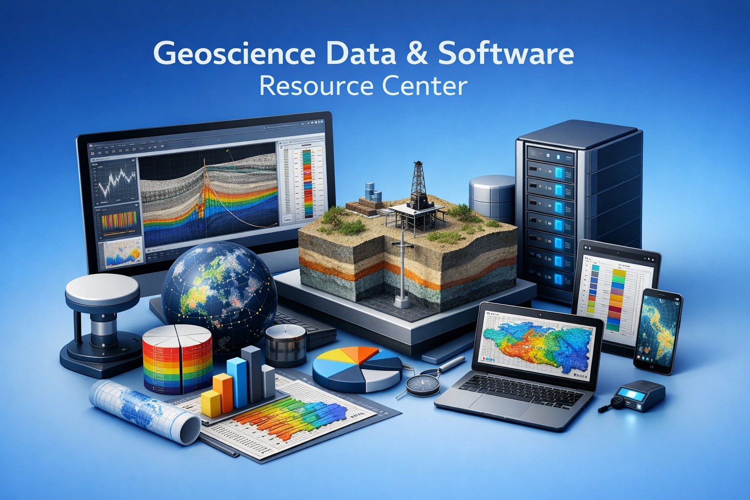
Welcome to your centralized hub for geotechnical and environmental knowledge. Explore expert guides, workflows, and best practices.
Start with the topic that matches your workflow challenge.
Borehole Data Solutions

Efficiently capture, store, and manage borehole logs, stratigraphy, and field observations in a centralized database.
Geotechnical Data Management

Explore best practices for managing geotechnical data across the full project lifecycle—from field collection to analysis and reporting.
Environmental Data Management

Learn how to integrate laboratory results, field data, and regulatory requirements into a single, streamlined system.
Sub-surface Visualization

Transform complex subsurface data into clear, visual models that improve interpretation, communication, and decision-making.
GaeaSynergy Platform

Dive into the capabilities of the GaeaSynergy Platform, including centralized databases, integration tools, and reporting automation.
Environmental Site Assessment Automation

Discover how automation reduces manual effort in environmental site assessments, improves consistency, and accelerates reporting timelines.
Contaminant Transport Modeling

Understand how contaminant plumes move through soil and groundwater, and how modeling tools support risk assessment and remediation planning.
Geoscience Data Digitization

Geoscience data digitization is the foundation of modern subsurface intelligence. Across oil & gas, mining, environmental, and infrastructure projects, vast amounts of critical data remain locked in legacy formats.
Frequently Asked Questions

Find answers to common questions about licensing, deployment, workflows, integrations, and more.
Training and Tutorials

Access step-by-step tutorials, onboarding materials, and best practices to help your team get the most out of your software tools.
Security and Governance

Learn how to manage user access, maintain data integrity, and ensure compliance with regulatory and organizational standards.
Borehole QA/QC
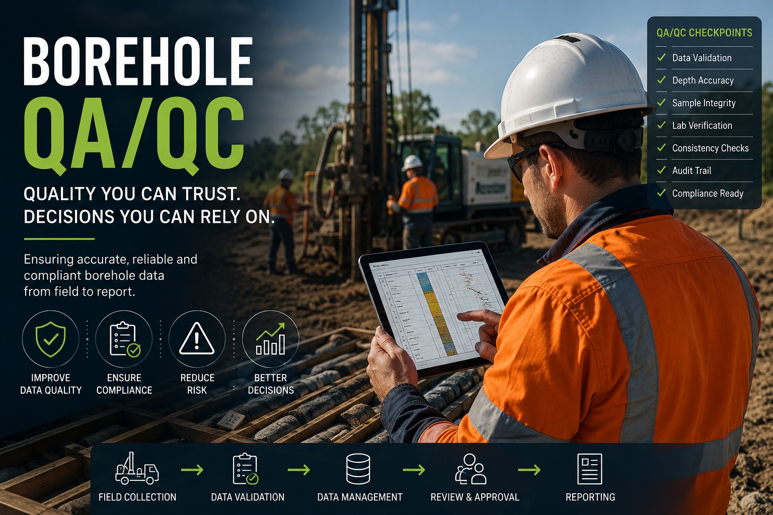
Build accurate, consistent, traceable, and technically defensible borehole data with practical guidance on validation, review, governance, standards, and discipline-specific QA/QC.
Latest Posts
- Introducing WinLoG Validation & QA/QC—Included in WinLoG 10 at No Additional CostGAEA Technologies is pleased to announce the release of WinLoG Validation & QA/QC, included in WinLoG version 10 at no additional cost, bringing automated data-quality checks to borehole and well logging workflows. Reliable logs depend on reliable underlying data. Missing sample identifiers, inconsistent measurements, and conflicting observations can be difficult to spot during routine review.… Read more: Introducing WinLoG Validation & QA/QC—Included in WinLoG 10 at No Additional Cost
- From gINT to WinLoG and GaeaSynergy: A Practical Migration PlanA practical framework for assessing, mapping, testing and governing the migration of borehole data and reporting workflows from gINT.
- GAEA Software Deployment Checklist for IT, Security and Procurement TeamsA practical checklist for evaluating GAEA software licensing, infrastructure, security, data ownership, implementation and support.
- Complete Guide to Borehole QA/QCBorehole data supports engineering design, environmental assessment, groundwater management, mineral exploration, infrastructure development, and regulatory reporting. A complete QA/QC program ensures that this information is accurate, complete, consistent, traceable, and technically defensible throughout its lifecycle. Technical review: GAEA Technologies Technical TeamLast reviewed: September 8, 2026 How to Use This Guide Use the sections below as… Read more: Complete Guide to Borehole QA/QC
- The Evolution of Borehole Logging Software: From Paper Logs to AI-Powered Subsurface IntelligenceFor more than a century, borehole logs have been one of the most important records produced during geological, geotechnical, hydrogeological, environmental, and mining investigations. They document the subsurface conditions encountered during drilling and provide the information engineers and geoscientists rely upon to design foundations, estimate mineral resources, assess environmental conditions, manage groundwater, and build critical… Read more: The Evolution of Borehole Logging Software: From Paper Logs to AI-Powered Subsurface Intelligence
News Releases
-
Environmental Data Management System Released
June 2016: The Environmental Data Management System (EDMS) is used to improve and standardize environmental data collection, management, and reporting in an efficient and cost-effective manner. This is accomplished by implementing a documented, auditable process for the collection, storage, and reporting of environmental field data. Throughout this process all stages of the sampling and analysis…
Our Story
Not sure where to start? Explore the GaeaSynergy Platform or contact us for guidance.