

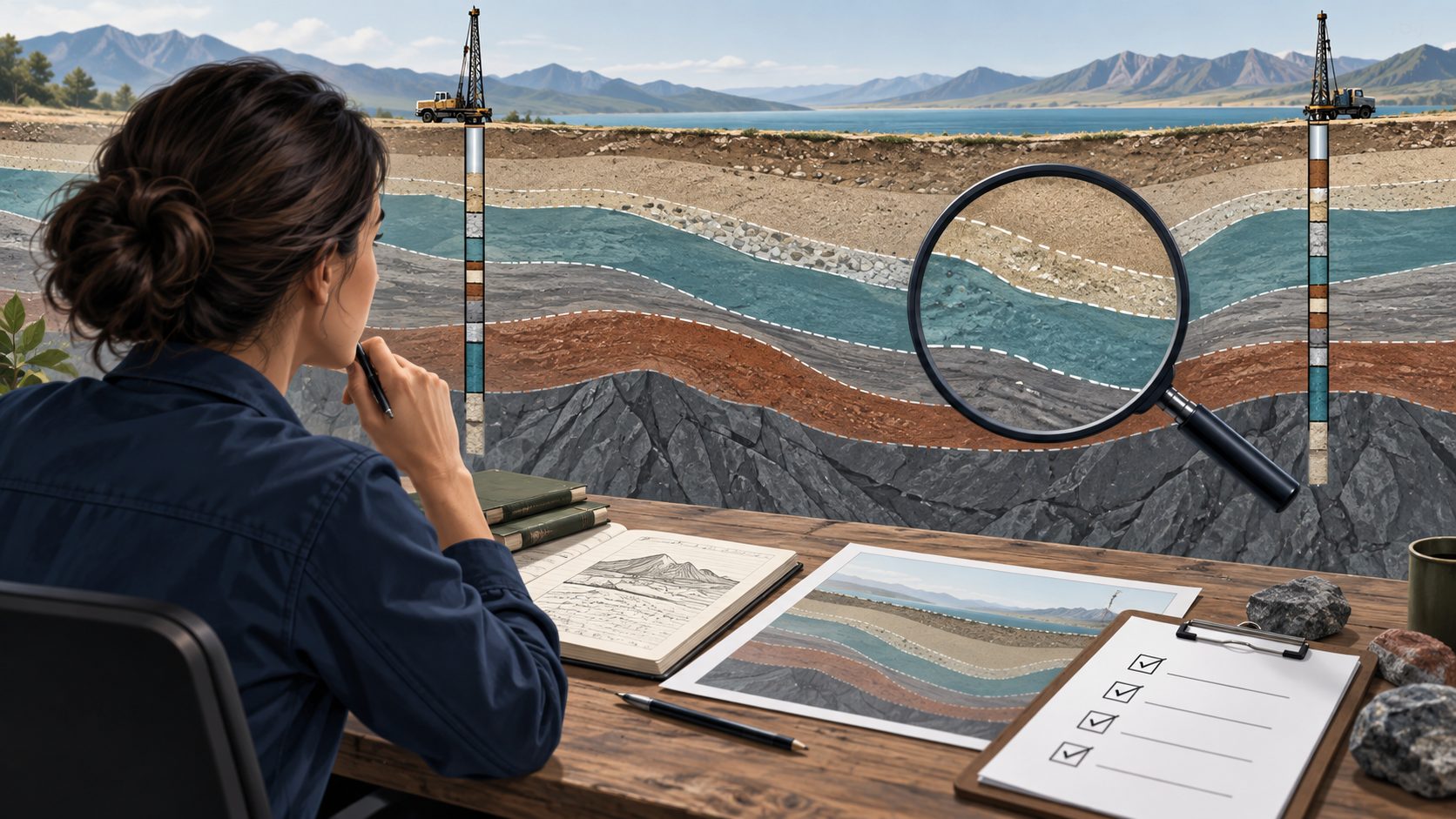
A geological cross-section is an interpretation supported by observations. Its usefulness depends on the quality of those observations, the reasoning between them and the clarity of the presentation. A visually convincing section can still contain an incorrect elevation, an unsupported correlation or a boundary that appears more certain than the evidence allows.
A structured geological cross-section review separates these questions instead of treating the drawing as a single finished object. This guide outlines practical checks for source information, geometry, correlation, uncertainty and final presentation. Apply them to the technical purpose of the project, whether the section was prepared in WinFence, CAD or another suitable environment.
Establish the purpose and review basis
Begin by identifying the decision or communication task the section supports. A regional geological illustration and a section used to explain conditions along an infrastructure alignment may require different detail. Record the section’s intended audience and limitations. Review should assess fitness for that purpose rather than demand every possible dataset on one crowded drawing.
Identify the source package, interpretation date and version being reviewed. Confirm whether all relevant investigations were considered and whether recent corrections are included. A reviewer needs to know if the section represents the current project information or a deliberately restricted historical dataset. Unstated differences in source dates can explain apparent contradictions between outputs.
Verify the location and orientation
Check the section line against the site plan and the coordinates of the included boreholes. Confirm the direction of viewing and the order of locations. A reversed orientation can change a reader’s understanding even when the individual logs are correct. Show the line clearly enough that someone unfamiliar with the project can locate it.
Where boreholes are projected onto a section rather than lying directly on it, establish the projection rule and offsets. Consider whether lateral variation makes that projection misleading. A borehole far from the line may provide useful context, but its position should not imply a direct observation along the section. Explain significant departures from the alignment.
Check depth, elevation and scale conventions
Confirm collar elevations, depth units and the vertical reference used throughout the section. Compare selected contacts with the corresponding source records. Mixed elevation references can create artificial steps or apparent dipping layers. Keep the distinction between measured depth and elevation explicit, especially when information has been imported from more than one investigation.
Check horizontal and vertical scales and state any vertical exaggeration. Exaggeration may make thin units easier to see, but it changes the visual impression of slopes and boundaries. Review the section at its intended issue size. A label that is readable on a large monitor may be illegible in the final report.
Trace displayed information to source records
Select representative boreholes and compare the section with their approved logs or other authoritative records. Check intervals, descriptions, samples, observations and important notes. Include at least one complex or corrected record in the review. Looking only at simple boreholes may miss truncation, omitted fields or incorrect treatment of unusual data.
Distinguish missing display content from missing source information. A field may exist in the database but be excluded by the selected track or presentation settings. Conversely, an attractive symbol may have no supporting record. The review should establish both what the drawing shows and where the underlying evidence can be found.
Separate observations from interpretation
At a borehole, a contact may be based on a logged change with its own observational limitations. Between boreholes, the same line represents an interpretation. Make that distinction understandable through the legend, line style, notes or accompanying report. Do not let a continuous solid boundary imply continuous direct observation where none exists.
Review the basis for each important correlation. Similar material names may reflect comparable descriptions without establishing the same geological unit. Consider stratigraphic position, surrounding units, sample information and relevant site context. Document the reasoning for correlations that materially affect the project interpretation, particularly where several plausible alternatives exist.
Examine discontinuities and difficult relationships
Pay special attention to lenses, pinch-outs, erosion surfaces, faults and abrupt changes. Ask whether the chosen geometry is supported or merely convenient to draw. A unit absent from one borehole could have several explanations, including local variation or incomplete information. The section should not silently select one explanation without an appropriate basis.
Check how boundaries behave near the ends of the section and below the deepest observation. Extrapolation can be useful, but it should remain identifiable. Avoid extending an interpreted contact across a large uninvestigated area with the same visual confidence used near closely spaced data. The limits of investigation are part of the information being communicated.
Review groundwater and other time-dependent observations
When groundwater information is displayed, include the context needed to interpret it, such as the observation date and the nature of the measurement. Observations collected under different conditions may not describe one simultaneous surface. The responsible professional should determine whether combining them is appropriate for the section’s purpose.
The same principle applies to environmental results or other changing information. A cross-section can place records in spatial context, but presentation does not resolve differences in sampling time, depth interval or method. Check that symbols and labels do not encourage a comparison that the underlying records cannot support.
Check consistency between intersecting sections
For a project with several sections, compare shared locations and intersections. Common boreholes should use consistent source information, and interpreted relationships should be explainable across views. A disagreement is not automatically an error, but it requires investigation. It may reveal an outdated section, a projection effect or an unresolved interpretation.
Record changes that affect other outputs. If a revised contact changes one section, identify the related sections, maps or explanatory text that need review. Relying on individual memory becomes difficult as the number of deliverables grows. A small change register can help the team track which outputs were checked after a revision.
Communicate uncertainty in useful terms
Uncertainty is most useful when it is tied to a location or assumption. Explain where data are sparse, where a contact is poorly constrained and where alternative correlations remain plausible. Generic language stating that all subsurface conditions may vary is less informative than identifying the particular uncertainty that could affect the intended use.
Consider showing an alternative interpretation when it materially changes the conclusion. This does not require drawing every conceivable scenario. Choose alternatives supported by the evidence and explain why they matter. The exercise can also reveal where additional investigation would be most valuable, rather than using more decorative detail to conceal a genuine information gap.
Inspect the legend and visual hierarchy
Check that colours, patterns, symbols and line styles have clear meanings and are used consistently. Similar colours may be difficult to distinguish in a printed copy or for some readers. Test the output in the form in which it will actually be used. Important distinctions should not depend on a subtle colour difference alone.
Keep observations, interpretations and contextual features visually distinguishable. Labels should identify units and key records without obscuring boundaries. Remove unnecessary decoration that competes with technical content. The goal is to help the reader understand the evidence and interpretation quickly, while retaining enough detail to inspect the basis of the drawing.
Review the complete issued package
Compare the section with the report text, location plan and referenced logs. Check section names, figure numbers, units and descriptions of key conditions. A correct drawing can still be misleading when the accompanying text refers to an older interpretation. Review the package as a connected deliverable rather than checking each file in isolation.
Confirm the revision identifier, date, preparer and reviewer according to the organization’s process. Preserve the editable working files and source references needed to explain the issued version. A PDF is useful for communicating the result, but it may not contain the information required to reconstruct how the interpretation was developed.
Use software assistance within a review process
WinFence supports geological section and fence-diagram workflows, including specialist presentation and editing. GAEA’s product guidance makes clear that a generated section is not an automatically verified geological model. Review should therefore address the source records and the interpretation, regardless of how efficiently the drawing was produced.
For a practical pilot, ask a colleague to review one representative section using the source logs and stated criteria. Record where they need clarification and what evidence is difficult to retrieve. Improve the workflow around those findings. Reviewability is a useful quality measure because a result that cannot be explained is difficult to maintain or revise confidently.
Close issues with a documented decision
Give review findings an owner and a clear disposition. Distinguish corrections to source information, changes to interpretation and presentation improvements. After a change, repeat the affected checks and consider its impact elsewhere. Do not mark an issue closed solely because a line moved; confirm that the reason for the change was addressed.
An effective final check asks whether the section communicates the project evidence honestly and supports its stated purpose. It should show what is known, what is interpreted and where important limits remain. Discuss a representative section with GAEA when evaluating how WinFence can support your organization’s preparation, revision and review workflow.