
Managing complex laboratory tests and historical data across multiple projects can be a significant challenge for geotechnical engineers. The Geotechnical Data Management System (GDMS) by GAEA Technologies simplifies this by providing a centralized platform where test results aren’t just stored, but are fully integrated into the project’s visual landscape.
Using Project Views within GDMS allows you to move beyond individual test reports and see the “big picture” of your subsurface data through automated tables, graphs, and spatial displays.
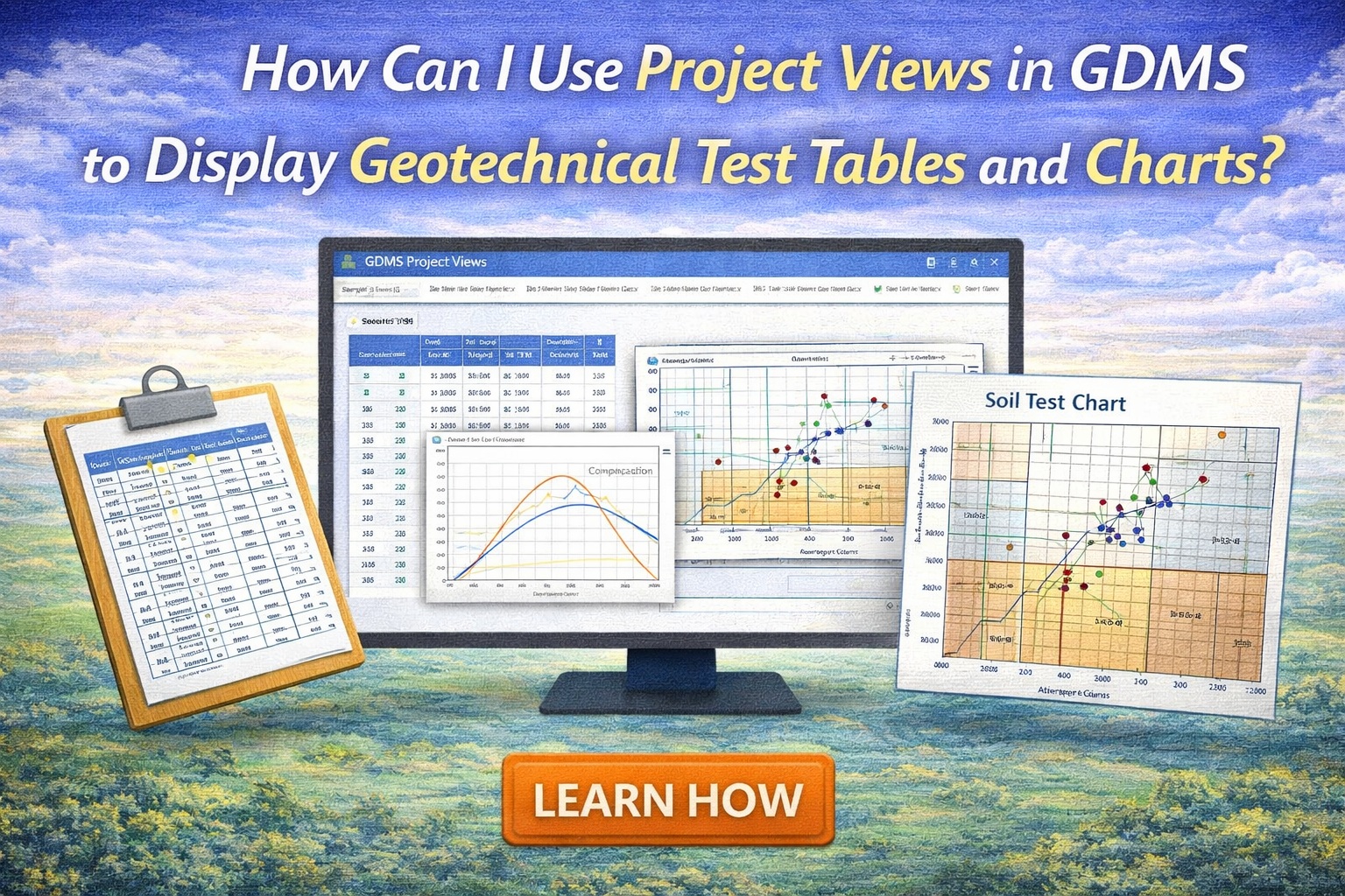
The Power of Project Views in GDMS
In GDMS, data is only as valuable as your ability to analyze it. Project views serve as a multi-dimensional lens through which you can filter and summarize vast amounts of geotechnical data across an entire project.
Generating Summary Tables
In the GDMS module, tables are dynamic objects that pull data directly from the managed database. To create one:
- Data Tab Selection: Define the source of your data. You can create specific tables for Geotechnical Tests, Lab Analyses, or Water Levels.
- Apply Filters: Use the Filter Tab to isolate results by sample location, date range, or specific material type (e.g., only “Sieve Analysis” results).
- Format and Layout: Use the Format and Page Layout tabs to define column headers, borders, and overall table size.
Creating Professional Charts
Charts in GDMS are designed to visualize physical soil properties and lab results.
- Geotechnical Test Charts: These are typically used for grain size distributions (sieve analysis) or Atterberg Limits.
- Customizing the View: When creating a chart, use the Options Tab to specify Scale, Grid, and Line Type.
- Integration with Map/3D: Once a chart is configured in a Project View, it can be pinned to specific sample locations on a project map or rendered in 3D views to show vertical variation.
Summary
GAEA Technologies’ GDMS provides a robust solution for geotechnical data management by unifying laboratory testing with powerful visualization tools. By using Project Views, engineers can filter, summarize, and display geotechnical test results in tables and charts that are spatially linked to their project maps and 3D models. This integration ensures a “single source of truth” and enhances the ability to communicate complex site conditions to stakeholders.
Related Articles
- Entering, Reporting, and Storing Geotechnical Tests in GDMS: A Complete Workflow Tutorial
- How Do I Create a Constant Head Permeability Test (ASTM D2434) in GDMS?
- How Do I Create a Proctor Compaction Test (ASTM D698/D1557) in GDMS?
- How Can I Create an Atterberg Limits (ASTM D2487) Test in GDMS?
- How Can I Perform a Sieve Analysis Using GDMS?