
Subsurface investigations generate large amounts of geological, geotechnical, and environmental information. Boreholes drilled during site investigations provide valuable insights into soil layers, rock formations, groundwater conditions, and contamination patterns. However, the true value of borehole data is realized when it can be visualized and analyzed spatially across a site or region.
This is where Geographic Information Systems (GIS) play a critical role. Integrating borehole data with GIS systems allows engineers, geologists, and environmental scientists to visualize subsurface information geographically, identify spatial patterns, and perform advanced analyses. By linking borehole databases with GIS mapping platforms, organizations can transform complex datasets into clear visual representations that support better decision‑making.
This article explores how borehole data is integrated with GIS systems, the types of data involved, the benefits of spatial analysis, and how GIS technology improves geotechnical and environmental investigations.
Understanding Borehole Data
Borehole data refers to the geological, geotechnical, and environmental information collected during drilling investigations. When a borehole is drilled, scientists and engineers record detailed observations about the materials encountered beneath the ground surface.
Typical borehole datasets include:
- Drilling logs
- Lithology descriptions
- Soil classifications
- Groundwater measurements
- Sampling intervals
- Laboratory analytical results
- Monitoring well construction details
Each borehole provides a vertical profile of subsurface conditions at a specific location. When multiple boreholes are drilled across a site, the collected data can be combined to build a broader understanding of subsurface conditions.
What is GIS?
Geographic Information Systems (GIS) are digital platforms used to capture, store, analyze, and visualize spatial data. GIS technology allows users to create maps that integrate different layers of geographic information.
GIS systems are widely used in fields such as environmental science, urban planning, geology, and engineering. By combining spatial datasets, GIS enables professionals to analyze relationships between location‑based data and real‑world phenomena.
In subsurface investigations, GIS allows borehole data to be visualized geographically, making it easier to understand how geological conditions vary across a site.
Why Integrate Borehole Data with GIS?
Traditional borehole logs provide valuable information about subsurface conditions at individual locations. However, when borehole data is analyzed without spatial context, it can be difficult to interpret how geological layers change across a site.
Integrating borehole data with GIS systems provides several important advantages:
- Visualization of borehole locations on maps
- Identification of spatial patterns in geological formations
- Mapping of groundwater levels and flow directions
- Visualization of contaminant plumes
- Integration with other environmental datasets
GIS transforms borehole data from isolated records into a spatially connected dataset that reveals relationships across an entire project area.
Types of Borehole Data Used in GIS
Several types of borehole data can be integrated with GIS systems to support spatial analysis.
Borehole Location Data
The most basic GIS dataset associated with boreholes is location information. Each borehole is assigned geographic coordinates such as latitude and longitude or projected coordinates from a site survey.
This spatial information allows boreholes to be plotted on maps and analyzed relative to other geographic features.
Lithology and Geological Data
Lithology descriptions recorded during drilling provide information about soil and rock layers encountered at different depths. When integrated with GIS, these data can be used to create geological cross‑sections and subsurface models.
Groundwater Data
Groundwater monitoring wells installed in boreholes provide water level measurements and groundwater quality data. GIS mapping allows hydrogeologists to visualize groundwater elevation contours and determine groundwater flow direction.
Environmental Sampling Data
Environmental investigations often collect soil and groundwater samples to analyze contamination. GIS systems allow scientists to map contaminant concentrations and visualize the extent of contamination across a site.
Laboratory Analytical Results
Laboratory testing produces datasets describing chemical concentrations in soil or groundwater samples. These results can be linked to borehole locations and displayed on GIS maps for spatial analysis.
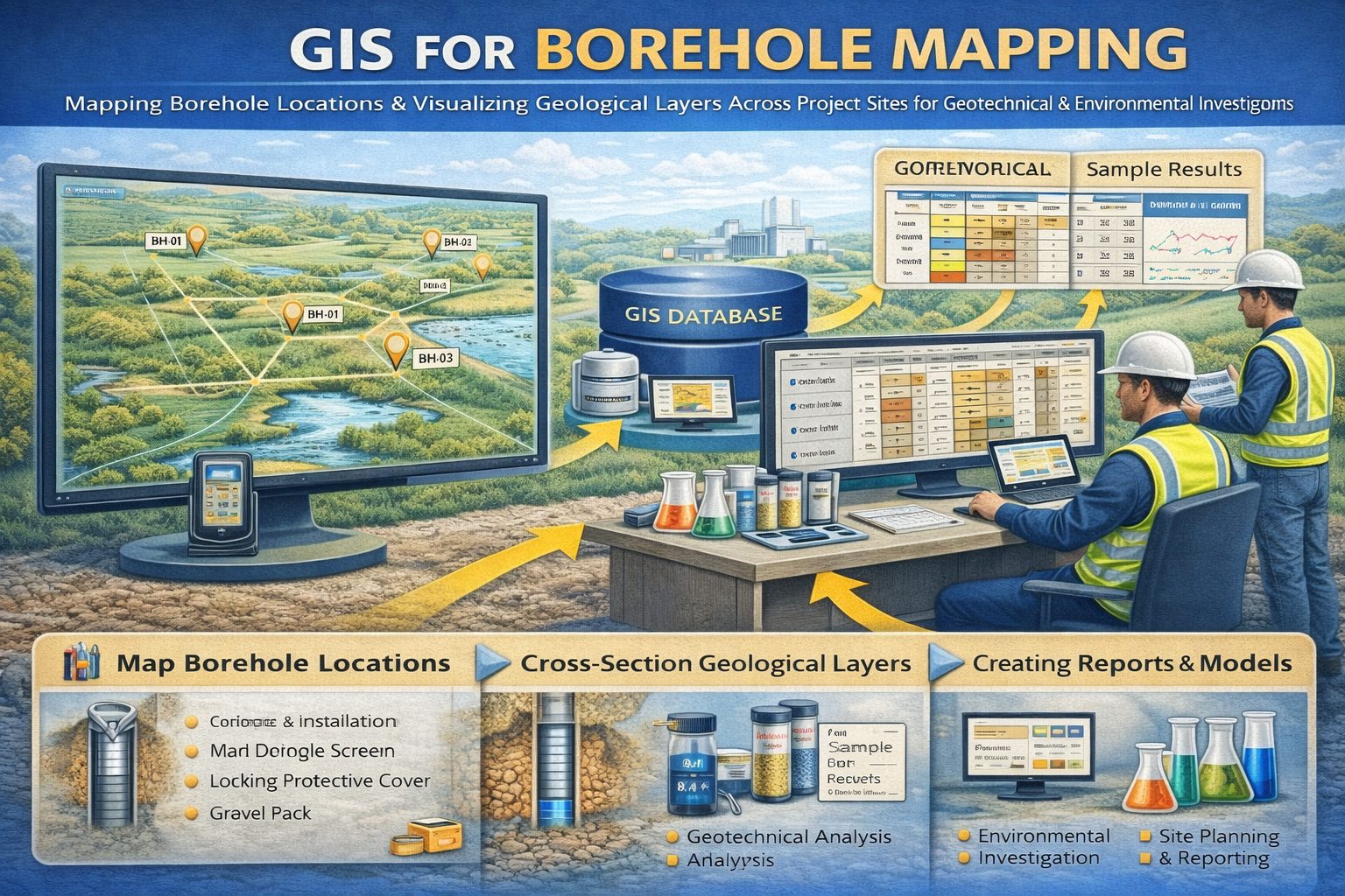
Creating Borehole Maps in GIS
One of the most common uses of GIS in subsurface investigations is mapping borehole locations. By plotting boreholes on a map, engineers and geologists can visualize the spatial distribution of drilling investigations.
These maps often include additional information such as:
- Borehole depth
- Ground surface elevation
- Drilling date
- Monitoring well status
Borehole location maps provide an overview of the investigation area and help identify areas where additional drilling may be required.
Geological Cross‑Sections and Subsurface Models
GIS software can be used to create geological cross‑sections that illustrate subsurface layers between boreholes. These cross‑sections show how soil and rock formations change across a site.
Cross‑sections are commonly used in:
- Geotechnical engineering investigations
- Hydrogeological studies
- Mining exploration
- Environmental contamination assessments
Advanced GIS platforms can also generate three‑dimensional geological models that provide detailed visualizations of subsurface conditions.
Groundwater Contour Mapping
Groundwater monitoring wells provide water level measurements that can be mapped using GIS. By analyzing groundwater elevations across multiple wells, hydrogeologists can create groundwater contour maps.
These maps help determine:
- Groundwater flow direction
- Aquifer gradients
- Recharge and discharge areas
Understanding groundwater flow patterns is essential for managing water resources and evaluating contamination risks.
Mapping Environmental Contamination
Environmental investigations frequently involve mapping contamination in soil and groundwater. GIS systems allow scientists to visualize contaminant concentrations and identify contamination hotspots.
Using GIS mapping techniques, environmental professionals can:
- Map contaminant plumes
- Track contaminant migration
- Identify areas requiring remediation
- Evaluate remediation progress
These maps are often included in environmental reports and regulatory submissions.
Borehole Databases and GIS Integration
Many organizations store borehole data in centralized databases designed specifically for geotechnical or environmental investigations. These borehole data management systems often integrate directly with GIS platforms.
Integration allows users to:
- Automatically import borehole locations into GIS maps
- Link laboratory results to geographic features
- Visualize monitoring wells and sampling points
- Generate spatial reports and analyses
This integration ensures that borehole datasets remain organized and accessible for long‑term analysis.
Benefits of GIS‑Integrated Borehole Data Systems
Combining borehole databases with GIS systems offers several advantages for engineering and environmental projects.
- Improved data visualization
- Better understanding of spatial relationships
- Faster interpretation of subsurface conditions
- Improved environmental monitoring
- Enhanced collaboration between project teams
GIS also supports decision‑making by providing clear visual evidence that can be easily communicated in technical reports and presentations.
Future Trends in Borehole GIS Integration
Advances in digital technology are continuing to improve how borehole data is integrated with GIS platforms. Emerging trends include:
- Cloud‑based geospatial databases
- Real‑time environmental monitoring networks
- 3D geological modeling
- AI‑assisted subsurface analysis
These technologies allow scientists and engineers to analyze larger datasets and gain deeper insights into subsurface environments.
Conclusion
Integrating borehole data with GIS systems provides powerful tools for visualizing and analyzing subsurface information. By linking drilling logs, groundwater measurements, laboratory results, and environmental monitoring data with geographic mapping platforms, professionals can better understand complex underground conditions.
GIS integration allows engineers, hydrogeologists, and environmental scientists to identify spatial patterns, monitor groundwater systems, and track contamination more effectively. As digital technologies continue to evolve, GIS‑integrated borehole databases will play an increasingly important role in geotechnical engineering, environmental monitoring, and resource management.
For a broader overview see the guide: The Complete Guide to Borehole Data Solutions.
Learn more about our Solutions
Related Articles
Explore additional articles in the Borehole Data Solutions series.
- What is Borehole Data? A Complete Introduction
- Types of Borehole Data Collected During Drilling
- Borehole Logging Explained: Methods, Tools, and Data
- Digital Borehole Logging vs Traditional Field Logs
- Borehole Database Systems: How They Work
- How Borehole Data Supports Geotechnical Engineering
- How Borehole Data Supports Environmental Site Assessments
- The Role of Borehole Data in Groundwater Monitoring
- Borehole Data Standardization and Data Quality
- Borehole Data Visualization and Subsurface Modeling
- Best Practices for Borehole Data Management
- Centralizing Borehole Data Across Multiple Projects
- Automating Borehole Log Generation
- Cloud-Based Borehole Data Solutions
- Borehole Data Integration with Laboratory Data
- Borehole Data Management for Large Infrastructure Projects
- Choosing Borehole Data Management Software
- WinLoG Borehole Logging Software for Managing Drilling Data
- Subsurface Data Management for Engineering Projects
- How Engineering Firms Build Centralized Geological Databases
- The Future of Digital Subsurface Investigation Data