
The oil and gas industry relies heavily on accurate, real-time subsurface data to mitigate risk and maximize resource extraction. GAEA Technologies, a long-standing provider of geoscience and engineering applications, offers solutions specifically designed to manage complex data requirements in petroleum environments, from initial exploration to ongoing environmental monitoring.
Here is how GAEA’s software suite streamlines workflows for oil and gas professionals:
1. Well and Borehole Logging with WinLoG
Accurate well logs are foundational for identifying hydrocarbon zones. The WinLoG module is used to create detailed boring and well logs for a variety of industries, including petroleum.
- Data Capture: Geologists can record formation details, lithology, and well construction information.
- Field Assistant: The WinLoG Field Assistant allows for the digital collection of data on tablets, ensuring data integrity from the drill site to the database.
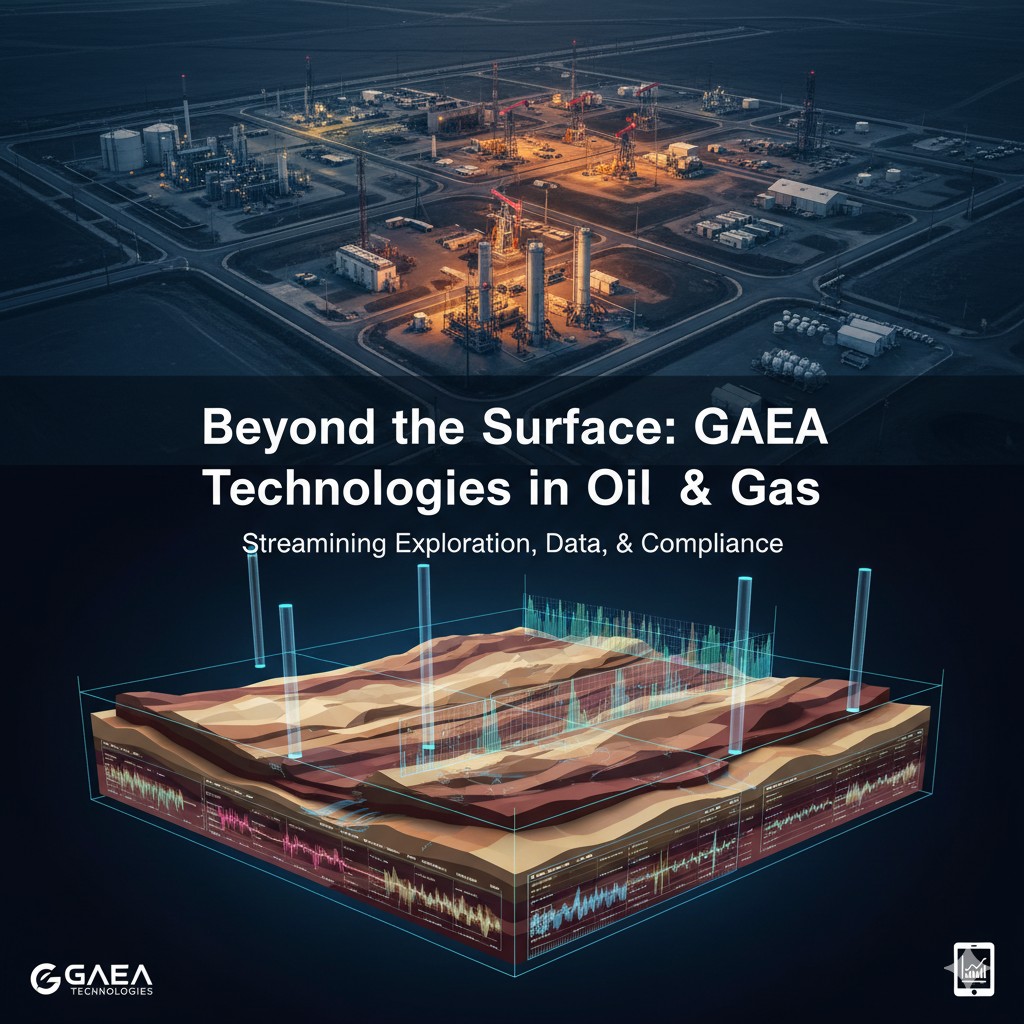
2. Subsurface Modeling and Visualization with WinFence
Understanding the continuity of reservoir layers is critical for placement decisions. The WinFence module is designed to build detailed cross-sections and 3D fence diagrams from well data.
- Layer Correlation: The software helps visualize the complex layers, faults, lenses, and intrusions that characterize many oil and gas reservoirs and oil sands deposits.
- 3D Display: Data can be viewed in an integrated 3D environment within GaeaSynergy, providing a comprehensive understanding of the subsurface geology.
3. Integrated Data Management with GaeaSynergy
GaeaSynergy is the core application suite that ties all data together, acting as a central hub for all geoscientific analysis, mapping, and data display. This platform is ideal for the petroleum and oil sands industries and allows for the evaluation of oil and gas deposits.
- GIS Integration: Users can leverage built-in Geographic Information Systems (GIS) to map all well locations and overlay them with site topography and other spatial data.
- Data Solutions: GAEA also offers services to digitize legacy scout tickets and seismic sections, integrating historical data into modern digital workflows.
4. Environmental Compliance and Reporting (EDMS)
Environmental management is a vital component of modern oil and gas operations. The Environmental Data Management System (EDMS) module helps standardize data collection and reporting for environmental compliance.
- Monitoring and Reporting: Manage water quality data, track contaminants, and generate standardized reports required by regulatory bodies.
- Risk Mitigation: The software aids in managing data for landfill design and contaminant transport analysis (using the POLLUTE and MIGRATE programs), which is relevant for managing waste byproducts of extraction processes.
Conclusion: Clarity for High-Stakes Decisions
By leveraging GAEA Technologies software, oil and gas companies can transform chaotic field data into clear, actionable subsurface intelligence. The ability to efficiently manage well logs, perform accurate 3D modeling, and maintain strict environmental compliance provides a significant competitive advantage in a challenging market.
Ready to enhance your petroleum exploration and production workflows? Download a demo of the GAEA software suite today.
Learn more about our Solutions
- GaeaSynergy Platform for Geoscientific Analysis
- Borehole and Well Log Data Management
- Cross Sections and Sub-surface Visualization
- Geotechnical Data Management System
- Environmental Data Management System
Related Articles
- GaeaSynergy: Integrated Geological, Geotechnical, and Environmental Data Management Platform
- The Complete Guide to Borehole Data Solutions
- The Complete Guide to Geotechnical Data Management
- The Complete Guide to Environmental Data Management
- Geological Cross-Sections from Borehole Data: A Complete Engineering Guide
- Integrated Geological and Geotechnical Data Platforms
- Why Engineering Firms Need Integrated Subsurface Data Platforms
- Managing Geological, Geotechnical, and Environmental Data in One Platform
- Digital Platforms for Subsurface Investigation Data
- Connecting Borehole Databases with Geological Modeling Software
- GIS Integration in Geological and Geotechnical Data Platforms
- Data Governance in Geological and Engineering Platforms
- The Future of Integrated Subsurface Data Platforms
- How Artificial Intelligence Is Transforming Geotechnical & Environmental Engineering
- Beyond 2D: Integrating Boring Logs with 3D Models for Complex Infrastructure Projects
- Protecting Our Water: Monitoring Contaminant Plumes Through Real-Time Stratigraphic Mapping
- Strategic Data Management in GaeaSynergy
- Seamless Data Flow: Mastering Import and Export in GaeaSynergy
- Mapping the Site: GIS and Spatial Data Management in GaeaSynergy
- Comprehensive Site Intelligence: Integrating Subsurface Data and Infrastructure in GaeaSynergy 3D
- Visualizing the Invisible: 3D Above and Below Ground Structures in GaeaSynergy
- Mastering Subsurface Visualization: Contouring and Gridding in GaeaSynergy
- From Data to Discovery: Visualizing the Subsurface with GaeaSynergy
- Beyond the Surface: How GAEA Technologies Software Powers Modern Mining
- Winning More Bids: Using High-Resolution Subsurface Visualization to Demonstrate Project Certainty
- Selecting the Right Gridding Algorithm for Your Contour Map
- The Science of Doubt: How to Quantify and Visualize Subsurface Uncertainty in Geological Models
- Geoscientific Analysis: Key Uses and Benefits