Data Solutions

Professional Geoscience Data Services

Convert Legacy Records into Analysis-Ready Digital Data

GAEA converts geophysical logs, seismic sections, maps, scout tickets and core photographs into structured digital files for interpretation, modeling, database migration, reporting and long-term preservation.

Five specialist services Documented QA/QC Project-defined delivery Worldwide support
Legacy geological and geophysical records prepared for professional digitization
LAS 3.0Geophysical logs
SEG-Y 2.1Seismic sections
GIS & DatabaseMaps and scout tickets
Continuous ImagesCore photographs
Choose the Right Type of Solution

Performed Data Services and End-User Software Serve Different Needs

Data Solutions

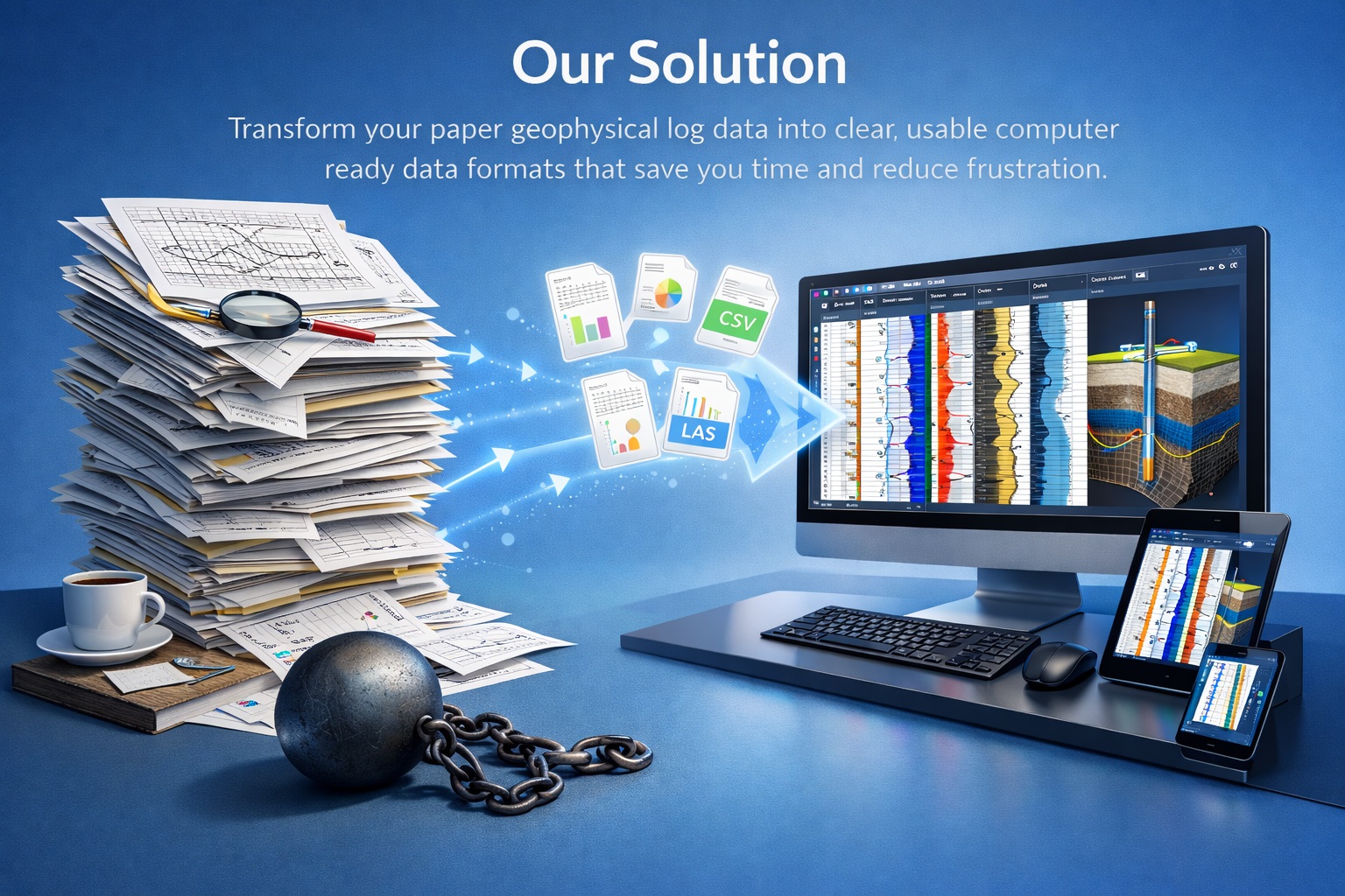
GAEA performs the conversion work. You provide representative source records and project requirements; GAEA defines the scope, digitizes the material, completes the agreed QA/QC and delivers the specified files.

Compare performed services
Software Solutions

GAEA provides applications that your staff use for borehole logging, data management, visualization, analysis and modeling. Software licensing, training, deployment and maintenance are separate from a digitization-service quotation.

Explore GAEA software
Five Specialist Services

Select the Source Record You Need to Convert

Each card links to a dedicated technical page covering source requirements, workflow, limitations, deliverables, pricing factors and frequently asked questions.

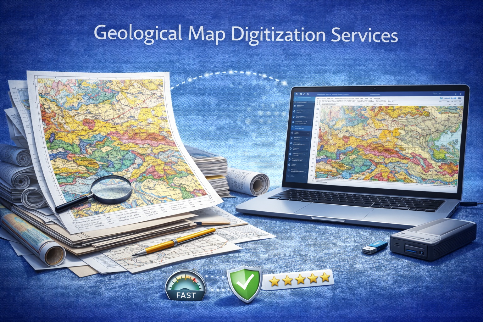
Geological map converted into organized GIS vector layers

Map Digitization

Convert georeferenced map images into organized vector layers for GIS use.

Output: Project-defined geospatial vector datasets
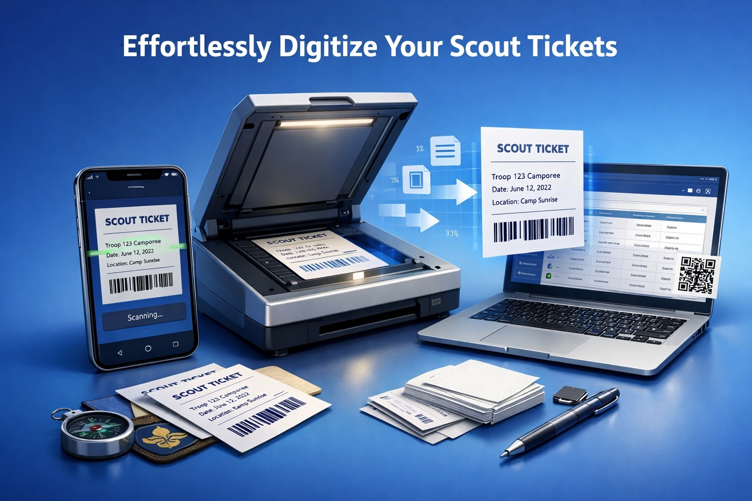
Historical scout ticket converted into structured database-ready data

Scout Ticket Digitization

Extract historical well and drilling information into structured, reviewable records.

Output: Database-ready structured records
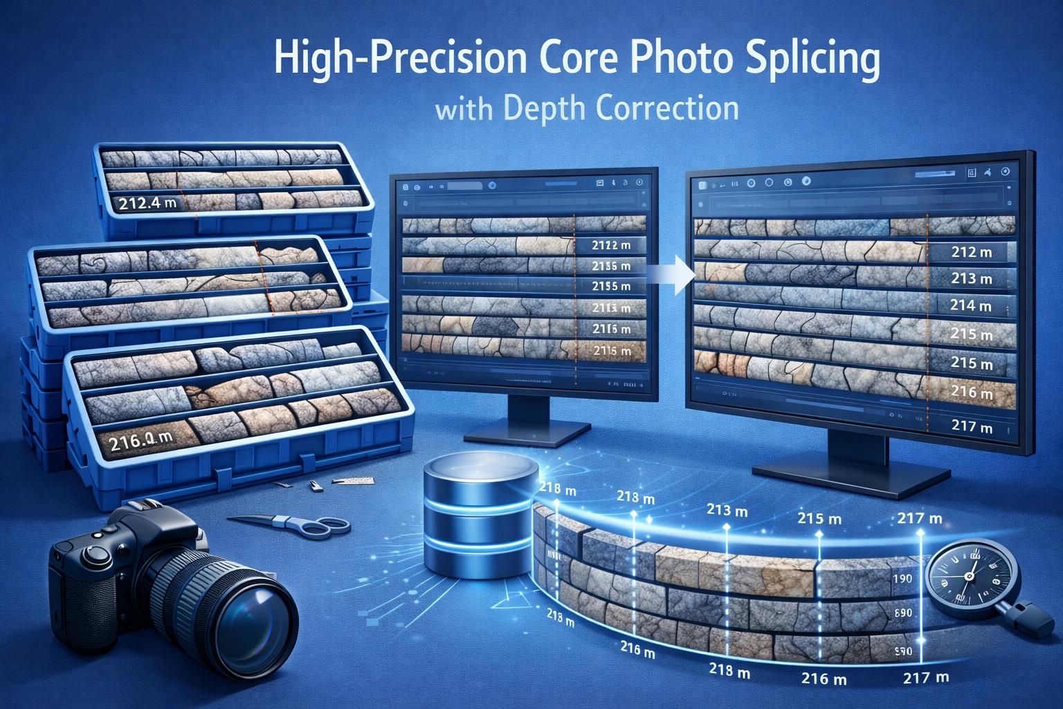
Continuous depth-registered geological core photograph after image splicing

Core Photo Splicing

Assemble separate core-box photographs into continuous, depth-registered visual records.

Output: Continuous TIFF, PNG or JPEG imagery
Service Comparison

Match the Source, Deliverable and Intended Use

ServiceTypical sourcePrimary deliverableCommon useDetails
Geophysical Log DigitizationPaper, microfiche, PDF, TIFF, JPEG or PNG well logsLAS 3.0Interpretation, correlation, modeling and archive recoveryView service
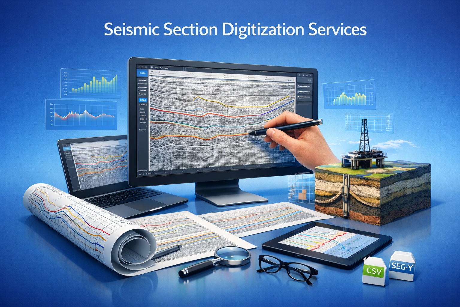
Seismic Section DigitizationScanned or digital 2D seismic sectionsSEG-Y 2.1Seismic interpretation, reprocessing and subsurface correlationView service
Map DigitizationPaper, PDF or raster maps with available spatial controlProject-defined geospatial vector datasetsGIS analysis, mapping, data management and project integrationView service
Scout Ticket DigitizationPaper, scanned image or PDF scout ticketsDatabase-ready structured recordsArchive migration, search, inventory and database importView service
Core Photo SplicingOriginal core-box photographs plus box, row and depth metadataContinuous TIFF, PNG or JPEG imageryWinLoG image columns, interpretation, reporting and preservationView service

Final format, field organization, dimensions, coordinate reference, sampling and software compatibility are confirmed in the project quotation.

Why Digitize

Make Historical Records Available for Current Work

Digitization is most valuable when the project begins with a defined downstream purpose rather than file conversion alone.

Preserve Legacy Records

Create organized derivatives from paper, microfiche and image archives while retaining original evidence.

Recover Data for Analysis

Make historical measurements and interpreted features available to current applications and specialists.

Standardize Archives

Apply consistent file naming, identifiers, fields and delivery organization across large collections.

Reduce Re-entry

Limit repeated manual transcription when multiple teams need the same historical source information.

Support Migration

Prepare records for agreed database, GIS, interpretation, reporting and data-room workflows.

Enable Interpretation

Bring visual and numerical evidence into correlation, modeling and multidisciplinary review.

Representative Outputs

Inspect Examples Before Defining the Project

These compact examples illustrate the type of deliverable associated with each service. Project files are produced to the approved scope.

Sample LAS 3.0

Geophysical Log Digitization example for evaluating the expected delivery workflow.

Open example

Sample SEG-Y 2.1

Seismic Section Digitization example for evaluating the expected delivery workflow.

Open example

Map Example Package

Map Digitization example for evaluating the expected delivery workflow.

Open example

Scout Ticket Example

Scout Ticket Digitization example for evaluating the expected delivery workflow.

Open example

Continuous Core Image

Core Photo Splicing example for evaluating the expected delivery workflow.

Open example
Shared Quality Control

A Traceable Source-to-Output Review

Specific checks differ by service, but every project should preserve identity, document assumptions and compare the deliverable with the supplied source.

Source Inventory

Confirm files, records, identifiers, coverage, condition and project organization.

Sequence and Identity

Verify well, section, map, ticket, box and interval relationships as applicable.

Calibration

Check depth, scale, trace, spatial control or image registration required by the service.

Source Comparison

Compare digitized values, features or imagery against representative source records.

Exception Review

Record missing, cropped, illegible, conflicting or ambiguous source information.

Continuity Checks

Review depth, trace, spatial, record or image sequence for gaps and overlaps.

Format Verification

Check the agreed file structure, organization, units, fields and delivery packaging.

Review Notes

Document source limitations and project-specific decisions that require attention.

Scope boundary: digitization represents information supported by the source. Missing or unreadable evidence is not invented, and derived files do not replace original records.
Project Workflow

Six Steps from Source Review to Final Delivery

1

Select the Service

Identify the source record, desired output and downstream use.

2

Submit Representative Files

Provide complete samples showing typical and difficult source conditions.

3

Confirm Scope and Quote

Agree on records, coverage, formats, QA/QC, organization, price and schedule.

4

Approve File Transfer

Confirm confidentiality, transfer, access, retention and deletion requirements.

5

Digitize and Review

Produce the scoped files and complete the applicable source-to-output checks.

6

Deliver and Confirm

Receive the organized files, supporting notes and agreed review opportunity.

Include these details with your quote request:
  • Service required
  • Number of records
  • Representative files
  • Depth or spatial coverage
  • Required output
  • Target software or database
  • Required date
  • Confidentiality requirements
Confidentiality and File Handling

Agree on Transfer and Retention Before Sending Production Data

Geoscience archives can contain proprietary locations, resources, infrastructure, interpretations and client information. State handling requirements during quotation so the transfer and production process can be agreed before sensitive files are submitted.

  • Identify NDA or contractual confidentiality requirements
  • Confirm the approved project transfer method
  • State access, retention and deletion requirements
  • Separate representative quote files from the complete production archive
  • Retain the original, unmodified source records

Review the Privacy Policy · Discuss file handling

Technical Guidance

Learn More About Digitization and Source Data

Geoscience Data Digitization

A broader guide to converting subsurface records into reusable digital information.

Read the guide

Quality Control and Validation

Understand source review, calibration, comparison and exception documentation for well-log work.

Read the article

Core Photos

Review how organized core photography supports logging, interpretation and preservation.

Read the article
Frequently Asked Questions

Planning a Data Digitization Project

How do I know which data service I need?

Choose the service that matches the source record and required deliverable: well logs to LAS 3.0, seismic sections to SEG-Y 2.1, maps to project-defined geospatial vectors, scout tickets to structured database-ready records, or core photographs to continuous depth-registered imagery. GAEA can review representative files if the correct route is uncertain.

What source files can I submit for review?

Representative PDF, TIFF, JPEG or PNG files are suitable for most quotations. Original paper, microfiche, unusually large files and specialized formats can be discussed before transfer. Use the detailed service page for service-specific requirements.

Will poor-quality historical records be accepted?

Many incomplete or inconsistent archives can be assessed, but source limitations affect scope, cost and accuracy. Missing, cropped, illegible, blurred or internally inconsistent information cannot be recreated reliably and is documented for review.

How are the digitized files checked?

The common workflow includes source inventory, identifier and sequence checks, calibration or georeferencing where applicable, source-to-output comparison, missing or ambiguous data review, format checks and exception documentation.

What affects the project price?

Cost depends on record count, depth or spatial coverage, source quality, metadata completeness, complexity, required output, QA/QC effort, file organization and schedule. A final quote follows review of representative source material.

How long will a project take?

Timing depends on project size, source consistency, required corrections, deliverables and current production schedule. Small, well-organized projects may be completed quickly; large historical archives are scheduled after source review.

Can I submit confidential project data?

Identify NDA, transfer, access, retention and deletion requirements during quotation. GAEA will confirm the project-specific handling method before sensitive production files are transferred.

Can the outputs be used in third-party software?

The output formats are intended for compatible downstream applications, but software-specific import limits, conventions, coordinate systems, field mappings and image requirements should be confirmed before production.

Do you preserve the original source information?

Processing is designed to represent the supplied source faithfully. Original records should remain under the client’s control because a digitized derivative does not replace the original paper, image, drilling record or physical core.

Can GAEA handle a large archive?

Yes. Begin with an inventory and representative samples from each record type and quality level. GAEA can then define batches, naming, transfer, QA/QC, delivery organization and review milestones for the archive.

Start with Representative Source Material

Choose the relevant service, provide complete representative records and receive a quotation defining inputs, outputs, QA/QC, pricing, schedule and file-handling requirements.