Software Solutions

  • Home
  • Software Solutions
Purpose-Built Geoscience Software

Software for Logging, Data Management, Visualization and Modeling

Choose focused tools for a single technical deliverable or connect multiple workflows through GaeaSynergy. GAEA software supports environmental, geotechnical, geological, groundwater, mining and infrastructure projects.

Not sure where to begin? Tell us about your workflow and we will help identify the most appropriate product.

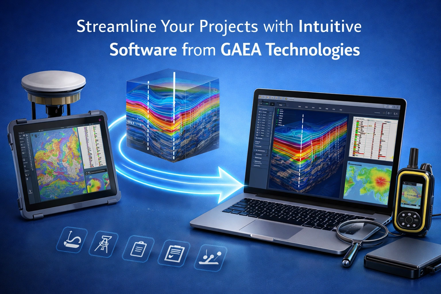
GAEA software connecting subsurface project data, technical analysis and reporting
30+ YearsGeoscience software experience
Focused or IntegratedChoose the workflow you need
Single & NetworkLicensing options where applicable
Expert SupportEngineers and geoscientists
GAEA Product Catalogue

Choose a Focused Product or an Integrated Platform

Every product card identifies the intended users, core capabilities and the next pages to review before downloading or purchasing.

Integrated Project Platform

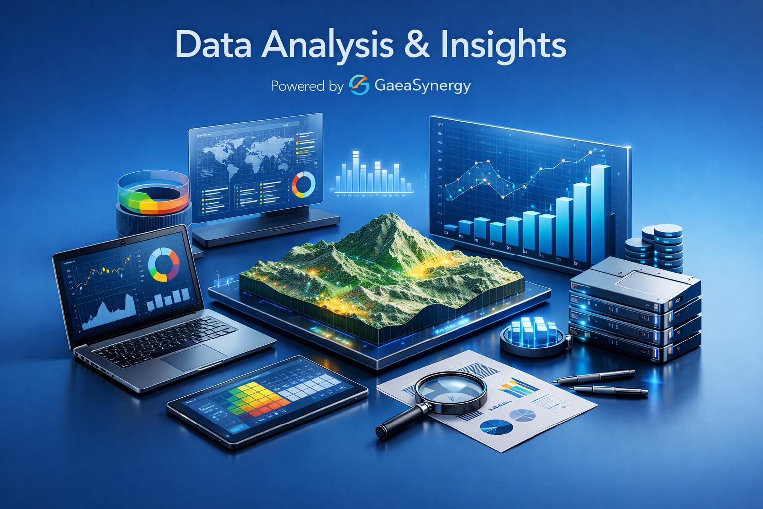
GaeaSynergy project dashboard connecting boreholes, samples, laboratory results, maps and project views

GaeaSynergy

Connect project data, maps, dashboards, cross-sections and 3D views in one managed environment.

Best for: Project managers, senior engineers, geologists and multidisciplinary teams

  • Project dashboards and status visibility
  • GIS, gridding, contouring and 3D display
  • Connected environmental, geotechnical and geological data
Borehole Logging & Visualization

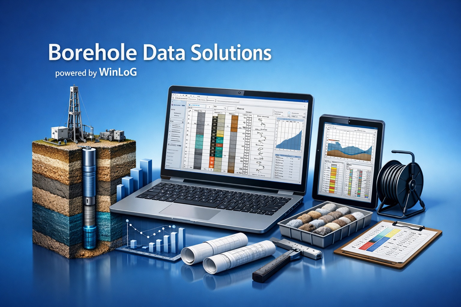
WinLoG borehole data solution showing a professional subsurface log

WinLoG

Create professional borehole, boring, well and core logs from configurable templates.

Best for: Geotechnical, environmental, mining, groundwater and oil-and-gas teams

  • Configurable templates and specialized data types
  • Validation and QA/QC available now
  • Field-to-office logging and print-ready output
WinFence geological cross-section software displaying interpreted subsurface layers

WinFence

Turn borehole records into editable geological cross-sections and three-dimensional fence diagrams.

Best for: Geologists, hydrogeologists, environmental consultants and geotechnical engineers

  • Editable strata, lenses, faults and intrusions
  • Borehole logs and geophysical images in context
  • Cross-sections and fence-diagram presentation

Environmental & Geotechnical Data

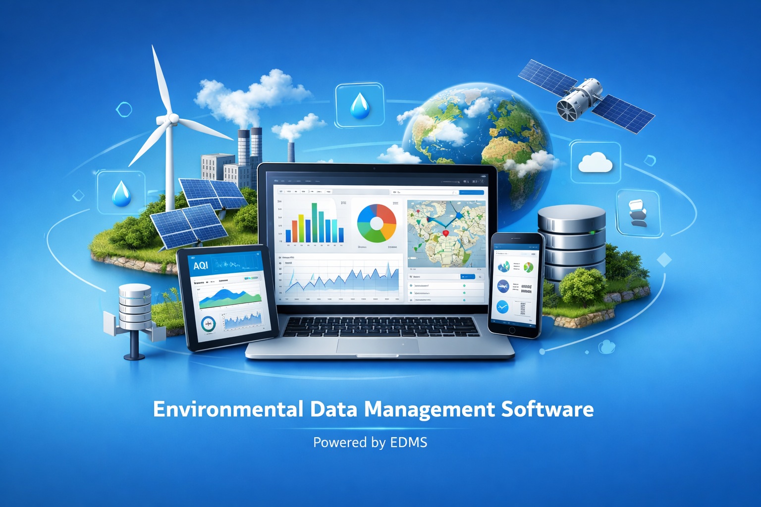
EDMS environmental data management software showing connected project information

EDMS

Standardize environmental sample, laboratory, criteria and reporting data across projects.

Best for: Environmental consultants, laboratories, project managers and regulators

  • Structured samples and laboratory results
  • Regulatory comparison and project reporting
  • Consistent import, review and export workflows
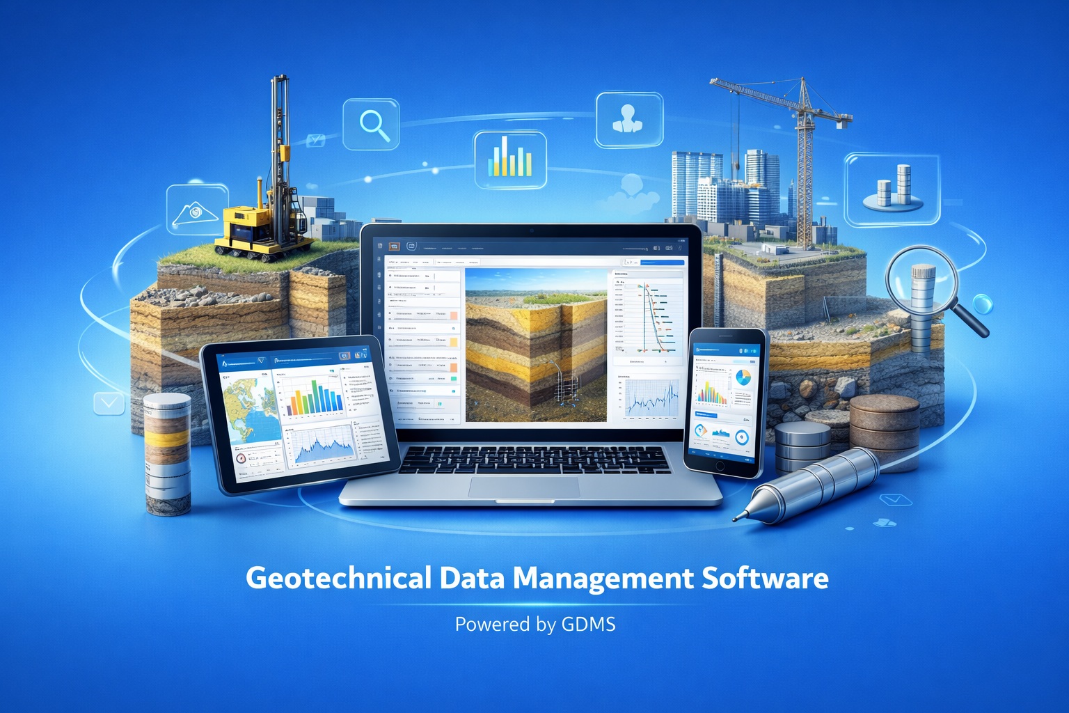
GDMS geotechnical data management software showing laboratory test information

GDMS

Manage geotechnical laboratory and field-test data in a repeatable database workflow.

Best for: Geotechnical laboratories, consultants, transportation agencies and materials teams

  • Common soil, aggregate, rock, asphalt and concrete tests
  • Test calculations, graphs and standardized reports
  • Centralized project and sample records

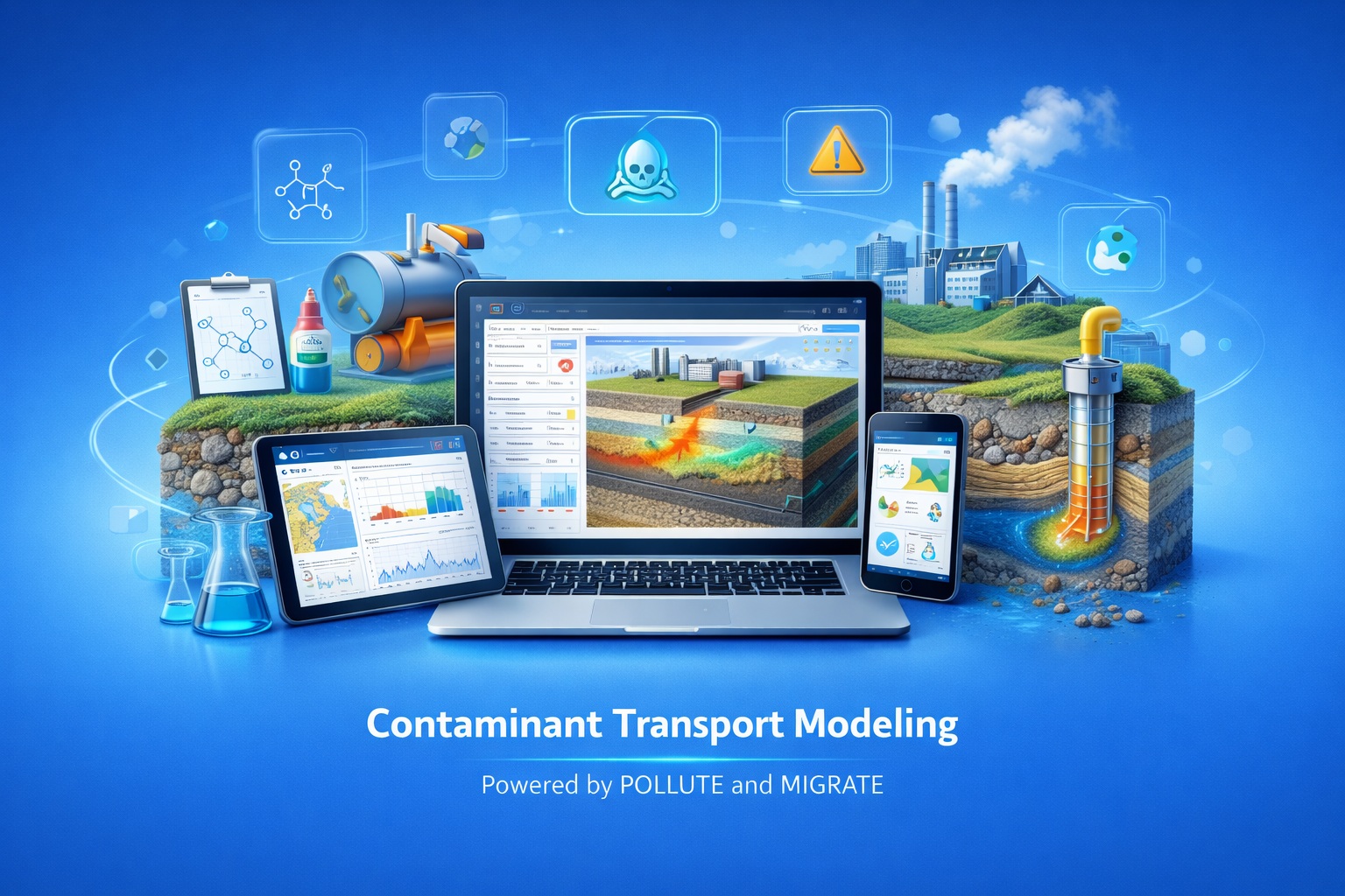
Contaminant Transport Modeling

Environmental Reporting

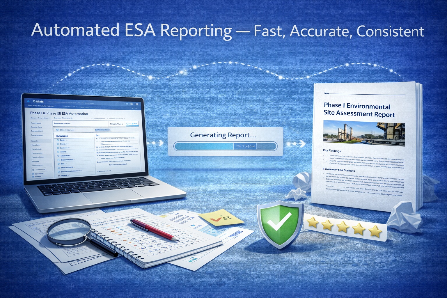
E-ASR automated Environmental Site Assessment reporting workflow

E-ASR

Generate consistent Environmental Site Assessment reports from structured project information.

Best for: Environmental consultants preparing Phase I and Phase II ESA deliverables

  • Structured project and assessment content
  • Reusable report sections and merge workflow
  • CSA, ASTM and Ontario-oriented report examples
Product Selection Guide

Compare the Primary Workflows

Use the deliverable column to narrow your choice, then review the examples and feature pages linked from the catalogue.

ProductPrimary deliverableTypical dataExplore
GaeaSynergyConnected project environmentBoreholes, samples, tests, maps, surfaces, documents and project viewsProduct overview
WinLoGBorehole, well and core logsLithology, samples, tests, construction, geophysics and QA/QCExample library
WinFenceCross-sections and fence diagramsLogs, strata, lenses, faults, groundwater and geophysical imagesExample library
EDMSEnvironmental data review and reportingSamples, laboratory results, criteria and environmental project recordsExamples
GDMSGeotechnical test calculations and reportsSoil, aggregate, rock, asphalt and concrete testsTest types
POLLUTE & MIGRATEContaminant transport analysisSources, barriers, groundwater systems and contaminant propertiesCompare models
E-ASREnvironmental Site Assessment reportsProject, site, interview, records-review and assessment contentSample reports
Connected Project Environment

Understand Where GaeaSynergy Fits

WinLoG, WinFence, EDMS and GDMS address specialized technical workflows. GaeaSynergy provides the wider project environment for teams that need to organize those records with maps, dashboards, documents, surfaces, 3D views and reusable project presentations.

You can begin with the individual product that produces your immediate deliverable and adopt the connected environment when project coordination and multidisciplinary visibility become important.

GaeaSynergy Project Environment
WinLoG
Borehole records
WinFence
Cross-sections
EDMS
Environmental data
GDMS
Geotechnical tests
From Project Friction to Technical Output

Address the Problems That Consume Project Time

GAEA products focus on the technical workflows that are difficult to manage consistently with disconnected files and generic tools.

Disconnected project data

Problem: information is divided among logs, spreadsheets, maps and reports.

Outcome: organize specialized records in repeatable workflows and connect broader project information through GaeaSynergy.

Repetitive manual reporting

Problem: teams repeatedly format the same technical information.

Outcome: use templates, calculations and structured project data to produce consistent deliverables more efficiently.

Difficult technical review

Problem: reviewers cannot easily trace the information behind an interpretation.

Outcome: retain the logs, samples, tests, criteria and project context behind technical results.

Evaluate Before You Choose

Review Real Outputs and Supporting Information

Use these paths to move from product discovery to a confident evaluation.

Validation & QA/QC

Review the released WinLoG validation workflow, example findings and quality indicators.

Explore WinLoG validation

Free Companion Resources

Download focused Windows and Android utilities, viewers and field-reference guides.

Browse free solutions
Why GAEA Technologies

Software Built Around Geoscience Workflows

  • Developed with the needs of engineers and geoscientists in mind
  • More than 30 years of geoscience software experience
  • Focused applications for specific deliverables and an integrated project platform
  • Single-user and network licensing options where applicable
  • Technical support from people familiar with the underlying workflows
  • Examples, documentation and Knowledge Center guidance for evaluation and training
A Clear Evaluation Path

Three Steps to the Right Workflow

1

Select Your Deliverable

Use the product finder and comparison table to identify the software that matches your immediate technical output.

2

Review Features and Examples

Open the dedicated feature, data-type, test-type, example and FAQ pages before beginning an evaluation.

3

Evaluate or Purchase

Download the appropriate demonstration or contact GAEA Technologies to confirm licensing and deployment.

Frequently Asked Questions

Choosing and Evaluating GAEA Software

Which product should I start with?

Choose the product that matches your immediate deliverable. WinLoG creates borehole and well logs, WinFence creates interpreted cross-sections, EDMS and GDMS manage discipline-specific data, POLLUTE and MIGRATE model contaminant transport, and E-ASR supports Environmental Site Assessment reporting. Choose GaeaSynergy when you need a connected project environment across several workflows.

Can the products be used independently?

Yes. The individual applications address focused workflows and can be evaluated on their own. GaeaSynergy provides the broader project environment when teams need connected data, maps, dashboards, visualizations and project views.

Are demonstrations available?

Demo availability depends on the product. Use the Download a Demo page to select the application you want to evaluate, or contact GAEA Technologies for guidance on the most appropriate workflow.

What license options are available?

GAEA software is offered with single-user and network licensing options where applicable. Contact sales or use the purchase page for current product-specific licensing and pricing information.

What support is included?

The first year of maintenance is included with a new license. Annual maintenance provides access to technical support, updates and upgrades according to the applicable maintenance terms.

Where can I see real outputs?

Use the Examples links on the product cards. The example libraries show representative logs, cross-sections, dashboards, laboratory outputs, models and reports before you choose a product.

Choose the Software That Matches Your Project

Start with the product finder and examples, download a demonstration when available, or contact GAEA Technologies for help selecting the right workflow.