

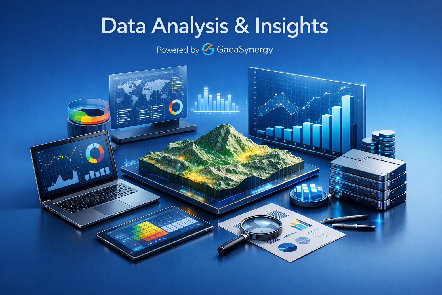
Explore the Entire Project in Three Dimensions
Combine boreholes, samples, cross-sections, contour surfaces, geological solids, structures and GIS context in saved interactive 3D views.
Move from separate logs, sections and maps to one spatial presentation of the project’s interpreted conditions.

