Map files and sheets
- Paper maps and map books
- PDF, TIFF, JPEG and PNG
- GeoTIFF and available world files
- Adjoining or overlapping sheets


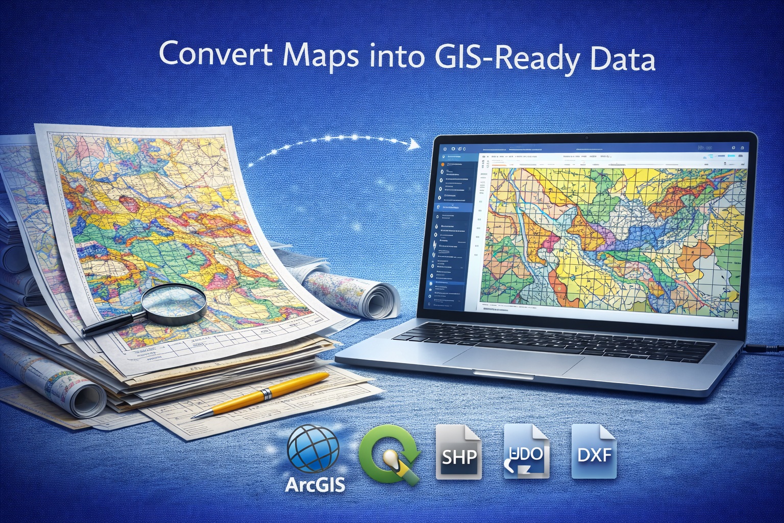
GAEA converts paper, PDF and scanned geological maps into georeferenced point, line and polygon layers with agreed attributes, coordinate reference information and documented QA/QC.
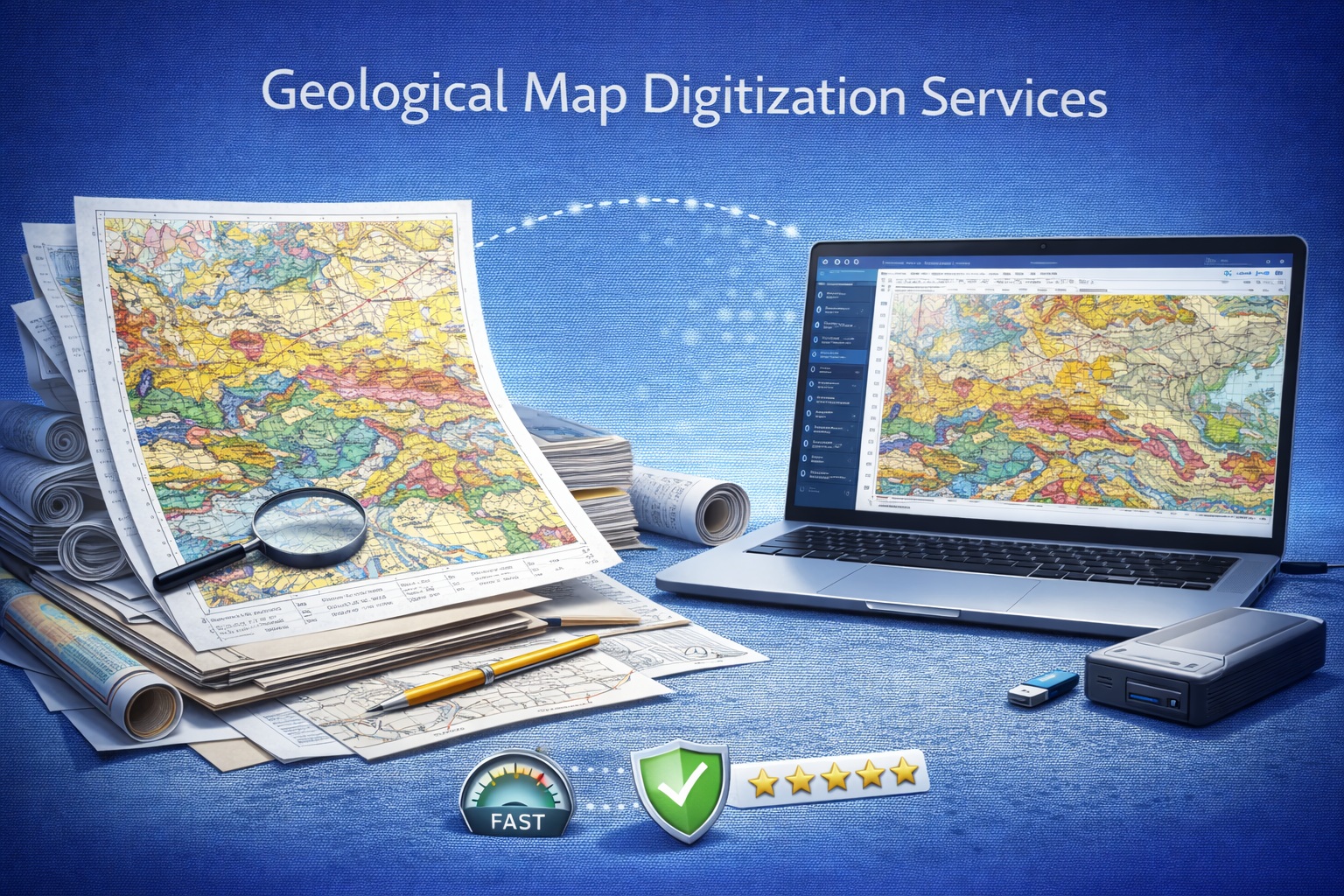
Original digital exports or high-resolution lossless scans preserve more detail than photocopies and compressed screenshots. Include every item needed to interpret symbols, coordinates and attributes.
The project scope identifies which features become points, lines or polygons and which attributes accompany each feature.
Boreholes, wells, samples, outcrops, structural measurements, control points and named locations.
Faults, contacts, folds, contours, rivers, roads, utilities, shorelines and section traces.
Geological units, deposits, alteration zones, hazards, water bodies, properties and project boundaries.
Feature identifiers, unit codes, names, ages, types, certainty, source references and approved controlled values.
The quotation identifies which formats are included, the coordinate reference system, file naming, layer organization and accompanying documentation.
| Deliverable | Typical purpose | Project considerations |
|---|---|---|
| GeoPackage Preferred | Consolidated modern GIS delivery containing multiple vector layers and attributes. | Confirm layer names, field schema, CRS and any style files. |
| Esri Shapefile | Compatibility with established GIS workflows. | Field naming, text encoding and related sidecar files require care. |
| GeoJSON | Open data exchange and web-oriented mapping. | Coordinate convention, feature properties and file size should be reviewed. |
| KML / KMZ | Geographic viewing and presentation. | Symbology and attribute presentation are agreed by project. |
| DXF | CAD exchange for applicable point, line and polygon geometry. | Layer names, units, elevation handling and coordinate system must be defined. |
| Georeferenced GeoTIFF | Rectified source map retained as a GIS raster reference. | Transformation, resampling, CRS and transparency requirements are documented. |
| CSV tables | Coordinates, control points, attributes or delivery indexes. | Identifier relationships, units and coordinate fields must be explicit. |
| Delivery summary | Documents source files, CRS, layers, attributes, assumptions and QA/QC findings. | Project-specific limitations and unresolved items remain visible. |
A production project can preserve the georeferenced source raster while separating mapped information into queryable feature layers.
 Downloadable synthetic example
The package demonstrates a project boundary, geological-unit polygons, geological contacts, a fault, sample locations, control points and a layer dictionary.
CRS: EPSG:4326. All coordinates, geometry and attributes are synthetic and are not suitable for interpretation, design or regulatory use.
Download GIS example packageGAEA will not silently assume an unknown projection, datum or unit. Unknown or conflicting spatial-reference information is identified during source review.
| ID | Source X/Y | Map X/Y | CRS |
|---|---|---|---|
| CP-01 | 125, 118 px | 500000, 5500000 | EPSG code |
| CP-02 | 1875, 120 px | 502500, 5500010 | Same CRS |
| CP-03 | 130, 1380 px | 500010, 5498000 | Same CRS |
Document by project: transformation method, control-point distribution, rejected points, residuals or RMSE where calculated, resampling method and any areas with insufficient control.
Checks address the image, spatial reference, geometry, topology, attributes and final delivery package.
A firm quotation follows review of representative source material and the required spatial, layer, attribute and delivery specifications.
A sheet is one source map page or scan treated as a production unit after review. Oversized panels, map books, tiled scans or several files representing one sheet may be divided or grouped in the final scope.
This is not a binding quotation. It may not include difficult georeferencing, extensive attributes, dense linework, multiple output formats, edge matching, source repair or project-specific QA/QC.
Inspect representative maps and confirm layers, attributes, spatial reference, formats, limitations, pricing and acceptance requirements.
Prepare and georeference the source, capture geometry and attributes, then perform spatial, topology and visual QA/QC.
Provide the agreed GIS, CAD and raster files with naming, CRS, schema, assumptions and project-specific limitations documented.
Preserve aging map collections as indexed raster and vector information.
Combine mapped features with project, borehole, sample and environmental data.
Use mapped contacts, structures and units as qualified interpretation inputs.
Transfer applicable geometry into documented CAD layers and units.
Compare historical mapping with current project and reference information.
Deliver defined layers and attributes to consultants, clients and project teams.
Project maps and supporting information are handled as client-confidential data. Transfer, access, retention and deletion requirements can be agreed before work begins.
Digitized geometry should retain its relationship to the source map, revision and confidence. It should not be presented as newly surveyed ground truth or used beyond the accuracy supported by the source and georeferencing.
Review a broader guide to converting legacy subsurface records.
Read the guideExplore map digitization for spatial analysis and interpretation.
Read the map guideCompare common raster, vector, GIS and CAD delivery options.
Read the format guidePlan the conversion of historical collections into structured databases.
Read the archive guideConsider how converted maps support connected project information.
Read the digital-twin guideGAEA accepts paper maps and PDF, TIFF, JPEG, PNG and GeoTIFF files, along with map books, adjoining sheets, legends, coordinate grids, control-point tables and available reference data.
Depending on the project scope, deliverables can include GeoPackage, Esri Shapefile, GeoJSON, KML or KMZ, DXF, georeferenced GeoTIFF and CSV coordinate tables.
No. Digitization reproduces information visible in the source. Positional and thematic accuracy remain limited by the original scale, source quality, distortion, control points, coordinate information and interpretation of indistinct features.
Provide the coordinate reference system, datum, units, EPSG code when known, map scale, grid information and reliable control points. GAEA will not silently assume an unknown coordinate reference system.
Yes. Attribute entry can be included when the layer schema, field names, data types, controlled values and source of each attribute are agreed before production.
Pricing can start at US$500 per sheet. The final quotation depends on source condition, sheet size, feature density, number of layers, attributes, georeferencing, edge matching, output formats and QA/QC requirements.
No. The example contains entirely synthetic geometry and attributes in EPSG:4326. It is provided only to demonstrate a possible layer and delivery structure.
Send one representative source with its scale, legend, coordinate information and required layers. GAEA will confirm feasibility, assumptions, deliverables, schedule and price.

GAEA Technologies develops and distributes geoscience and engineering solutions worldwide. Our solutions have been used for over 30 years by companies and organizations around the world.
© 2026 GAEA Technologies. All Rights Reserved.