

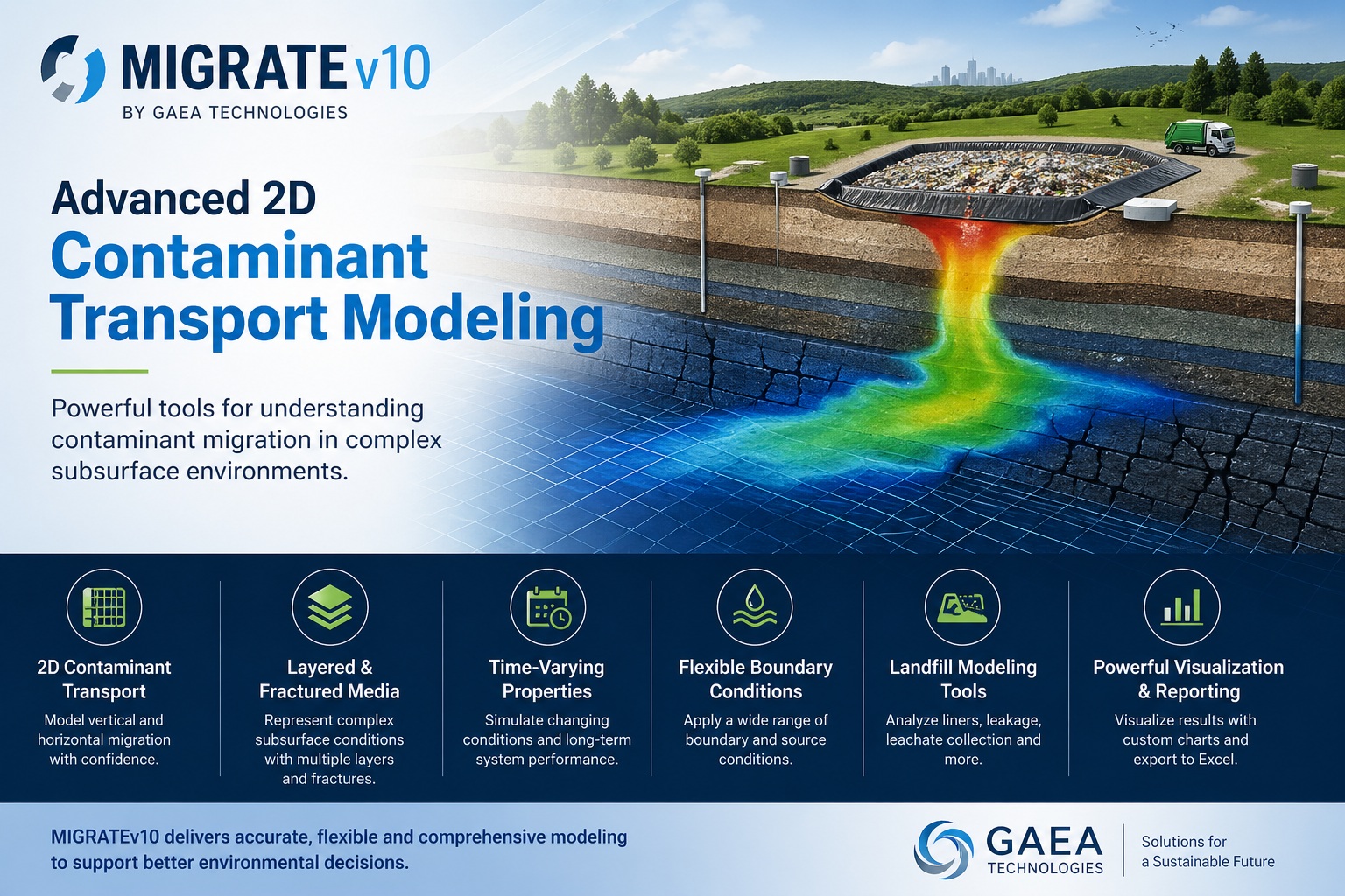
Model Vertical and Lateral Contaminant Migration
Build two-dimensional models that represent plume spreading, layered and fractured media, interacting sources and changing conditions through time.
Configure site geometry, transport processes, sources and boundaries; calculate concentration and mass results; and export supporting data for technical review.
Review the Core 2D Modeling Workflow
Move directly to the spatial definition, transport processes, source controls or output capabilities most relevant to your assessment.
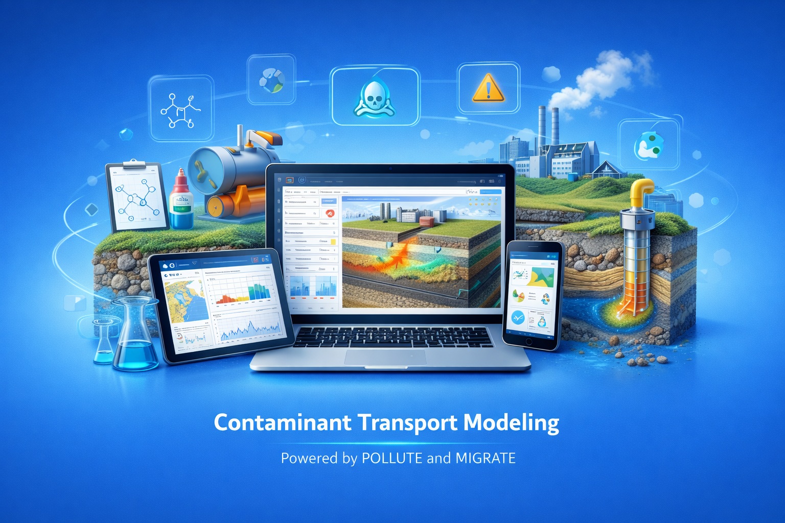
Resolve Spatial Behavior beyond a Layered Profile
MIGRATEv10 simulates contaminant movement in both the vertical and horizontal directions, supporting real site geometry, plume spreading and interaction between releases.
- Evaluate concentration at multiple lateral positions
- Represent more than one source in the same model
- Assess plume interaction and downgradient receptors
- Model layered, heterogeneous and fractured settings
- Compare spatial behavior through the assessment period
Represent the Processes That Shape a 2D Plume
The core feature set connects spatial geometry, transport mechanisms, changing sources and reviewable engineering output.
Two-Dimensional Transport
Calculate vertical and horizontal contaminant movement and plume spreading within one model domain.
Advection, Diffusion and Dispersion
Represent groundwater-driven movement, concentration-gradient diffusion and spatial dispersion together.
Sorption and Decay
Include retardation plus radioactive or biological decay where supported by the conceptual model.
Advanced Source Representation
Configure surface, buried and multiple sources with different locations and release histories.
Layered Subsurface
Assign distinct hydraulic and transport properties to natural strata and engineered barriers.
Fractured Media
Represent preferential pathways and rapid migration where fractures control transport behavior.
Time-Varying Properties
Change source concentrations, hydraulic conditions and material properties through the assessment period.
Landfill Systems
Evaluate primary and composite liners, leakage rates and leachate collection configurations.
Output and Data Exchange
Customize result views, export to Excel and exchange applicable output with related models.
Represent Site Geometry, Barriers and Natural Strata Together
Define distinct zones within the two-dimensional transport path. The model can combine multiple landfill cells, geomembranes, compacted clay, drainage materials, native soils, aquitards, fractures and aquifers.
- Keep units consistent throughout the model
- Use dimensions and values supported by project information
- Separate materially different zones and pathways
- Document the basis and uncertainty for influential parameters
Match Mass Entry and Domain Behavior to the Conceptual Model
Source definitions and boundary conditions determine where contaminant mass enters the domain, how it changes and what happens at its edges.
| Model Element | Option | Typical Interpretation | Review Question |
|---|---|---|---|
| Source | Constant concentration | A source concentration is maintained for the modeled condition. | Is a sustained release consistent with the assessment period? |
| Source | Finite mass | Available contaminant mass diminishes as the source is depleted. | Are source volume, mass and concentration assumptions supported? |
| Source geometry | Surface, buried or multiple | Releases occupy defined locations and may have different histories. | Does the model reproduce the source locations and timing? |
| Boundary | Zero concentration | Concentration is prescribed as zero at the selected boundary. | Is this sink condition defensible for the modeled domain? |
| Boundary | Zero flux or aquifer | The edge is impermeable, or groundwater mixing and outflow are represented. | Do the hydraulic assumptions match the receptor system? |
Build Complex Releases from Reviewable Components
MIGRATEv10 supports landfill-focused configurations together with multiple sources, liner systems, collection layers and time-dependent inputs. Each component should be made project-specific.
- Locate each landfill cell or source within the 2D domain
- Confirm every liner, collection layer and natural material
- Assign source histories and property changes through time
- Review leakage, hydraulic and receptor assumptions
- Save verified configurations for scenario comparison
Representative Configurations
- Primary landfill liner
- Composite primary and secondary liners
- Primary and secondary leachate collection
- Adjacent landfill cells
- Staged or time-varying sources
- User-created spatial models
Model geometry and default parameters remain starting points—not substitutes for project-supported information.
Examine the Plume through Time and Space
Use complementary result views to understand when, where and how contaminant mass moves through the two-dimensional domain.
Time and Depth
Plot concentration against time or depth at selected evaluation locations.
Distance Profiles
Compare concentration against lateral distance to inspect plume spreading and interaction.
Depth vs. Distance
View the spatial distribution of concentration across the modeled subsurface domain.
Mass, Tables and Excel
Review mass through time and export applicable model data for reporting or further analysis.
Keep Spatial Detail Connected to Its Engineering Basis
A repeatable workflow makes it easier to review geometry, reproduce scenarios and explain the final prediction.
Define the Question
Identify sources, receptors, contaminants and the assessment period.
Build the Domain
Enter source locations, strata, barriers, fractures and aquifers.
Set Boundaries
Configure release behavior and hydraulic edge conditions.
Enter Parameters
Use consistent units and documented spatial and transport values.
Calculate and Test
Run the baseline, check integration and test influential assumptions.
Review and Report
Check spatial plots, time histories, mass output and conclusions.
Apply MIGRATEv10 Where Spatial Behavior Matters
The suitability of the two-dimensional formulation and assumptions should be confirmed for each site and decision.
Multi-Cell Landfills
Evaluate releases, plume interaction and collection-system performance across adjacent cells.
Spatial Plume Analysis
Compare vertical and lateral concentrations across the modeled domain.
Fractured Settings
Assess preferential migration where fractures materially influence transport.
Lifecycle Performance
Evaluate changing sources, hydraulic conditions and engineered systems over time.
Evaluate MIGRATEv10 with a Representative Spatial Project
Confirm the model geometry, processes, outputs and product boundary against the work your organization actually performs.
- Does the engineering question require explicit vertical and lateral transport?
- Are the source locations, release histories and boundaries supported?
- Can natural, engineered and fractured zones be represented appropriately?
- Are the required time, depth, distance and mass outputs available?
- Can multiple sources and receptor locations be reviewed efficiently?
- Do Excel export and model-data handoffs meet the project workflow?
- Have integration settings and numerical behavior been checked?
- What migration, training, maintenance and licensing support is needed?
Recommended Evaluation Path
- Define one representative spatial question.
- Build the verified 2D domain.
- Set sources, histories and boundaries.
- Run a baseline and alternative scenario.
- Review time, depth and distance results.
- Export results and test the report handoff.
Continue from Product Evaluation to Technical Detail
Use the detailed guide, documented examples and related product resources to examine model behavior and application boundaries.
MIGRATEv10 Core Features Guide
Read the source article covering 2D transport, sources, boundaries, fractured media and output.
Read the Core Features guideMIGRATEv10 Examples
Inspect 13 documented models covering foundations, landfill systems, verification and spatial complexity.
Browse MIGRATE ExamplesPOLLUTEv10 Core Features
Review the simpler 1D/1.5D formulation for vertically layered engineering questions.
Explore POLLUTE FeaturesContaminant Modeling Guide
Understand the broader landfill-design and groundwater-protection workflow.
Read the complete guidePOLLUTE and MIGRATE Upgrade
Review version 10 modernization, compatibility and migration considerations.
Review Upgrade GuidanceTechnical Support
Ask about model configuration, installation, training or product evaluation.
Contact Technical SupportReady to Evaluate MIGRATEv10?
Build a representative two-dimensional model, test the source and boundary assumptions, and review the spatial outputs used in your engineering decisions.
