Software Solutions
Compare products for logging, data management, visualization, modeling and reporting.
Explore software

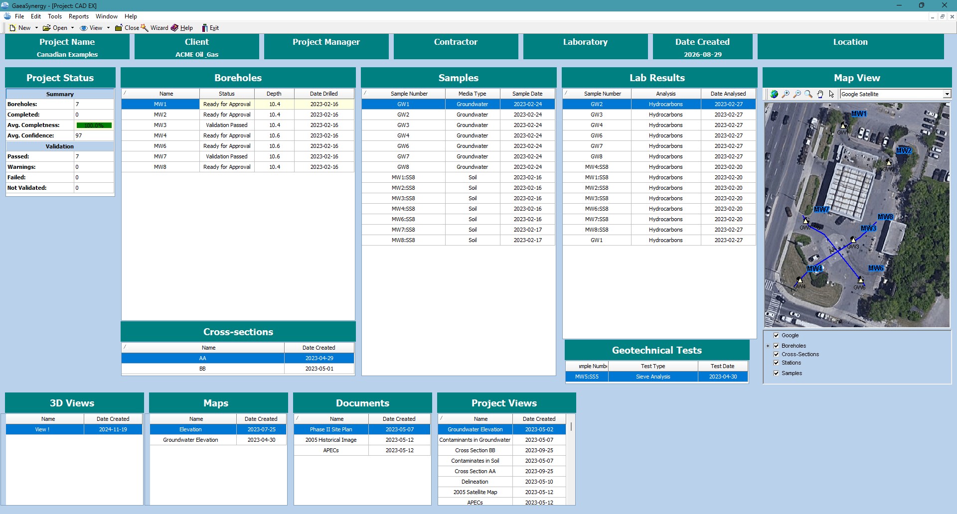
GAEA connects borehole logging, validation, environmental and geotechnical data management, subsurface visualization, modeling and professional digitization services.
Explore products, plan a digitization project, or go directly to resources for software already in use.
Compare products for logging, data management, visualization, modeling and reporting.
Explore softwareConvert legacy technical records into defined, reviewable digital deliverables.
Explore data servicesFind updates, manuals, registration, maintenance, training and direct technical assistance.
Open the Support CenterStart with GaeaSynergy or choose the specialized application that matches the technical work.
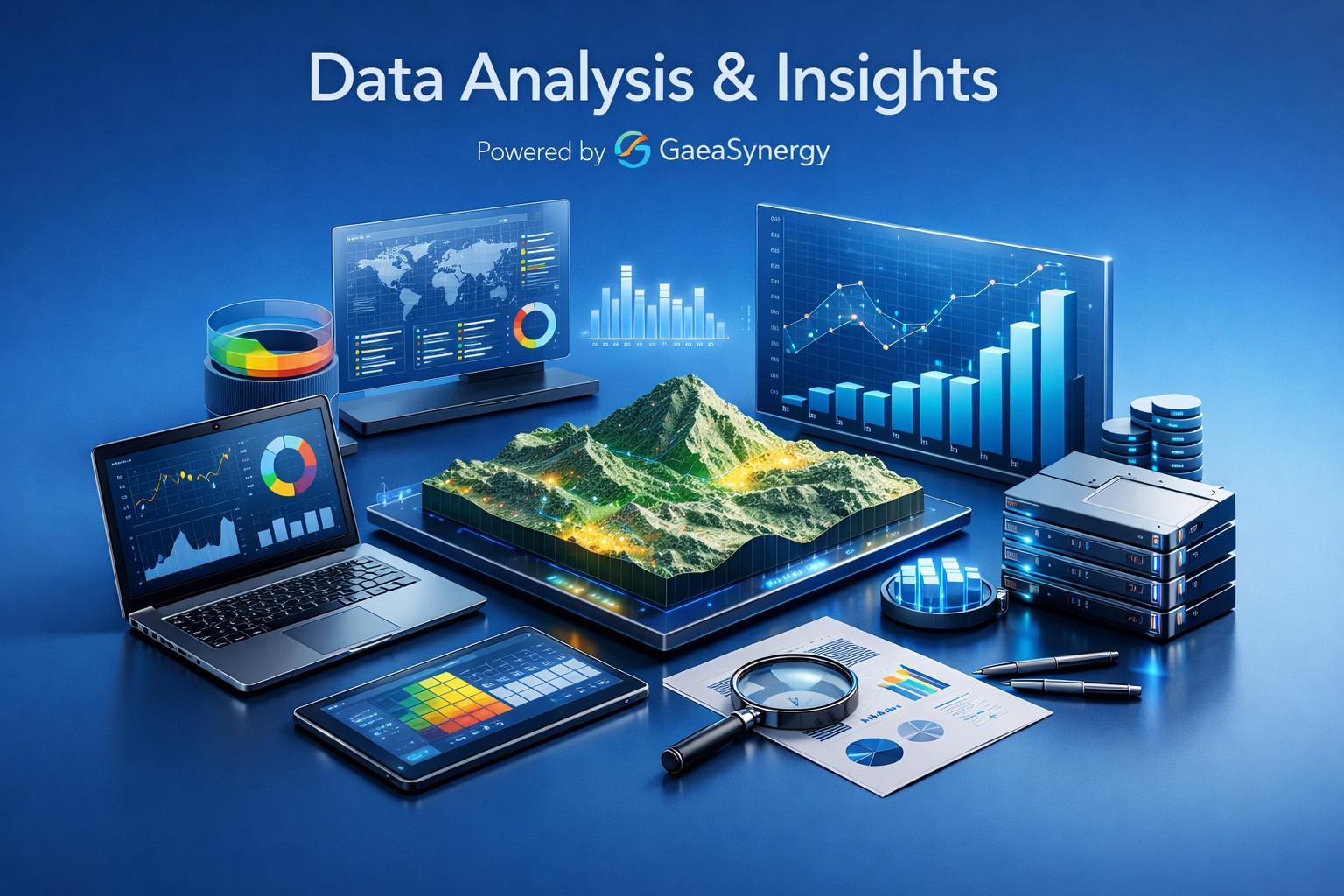
Integrated project data, dashboards, GIS, gridding, 3D visualization and specialist modules.
Explore GaeaSynergy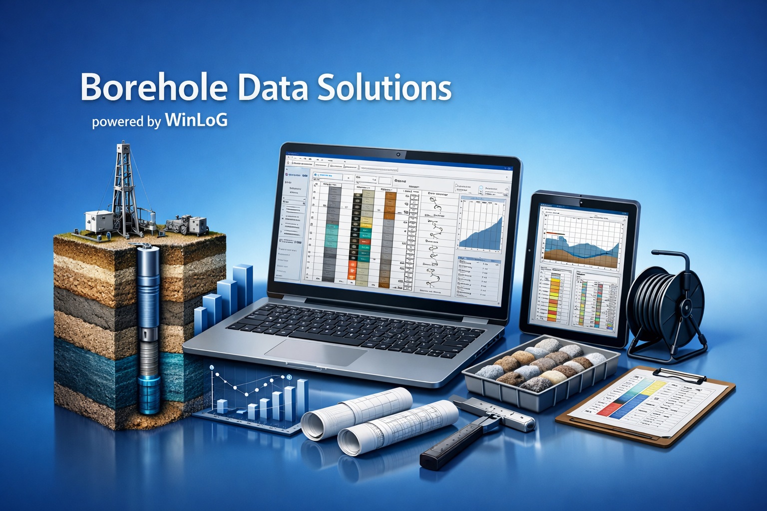
Create borehole, well and core logs with flexible templates, structured data and released Validation & QA/QC.
Explore WinLoG
Build editable geological cross-sections and 3D fence diagrams from project records.
Explore WinFence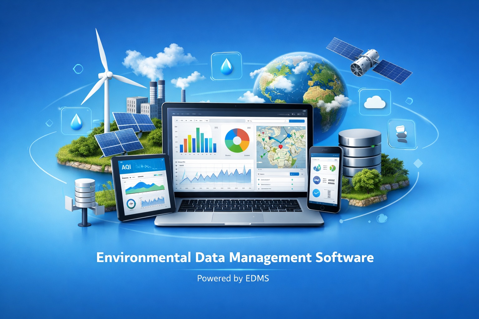
Manage environmental stations, samples, laboratory results, criteria comparisons and reporting.
Explore EDMS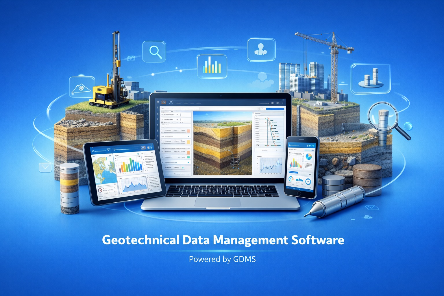
Connect laboratory measurements, calculations, quality review, engineering curves and reports.
Explore GDMS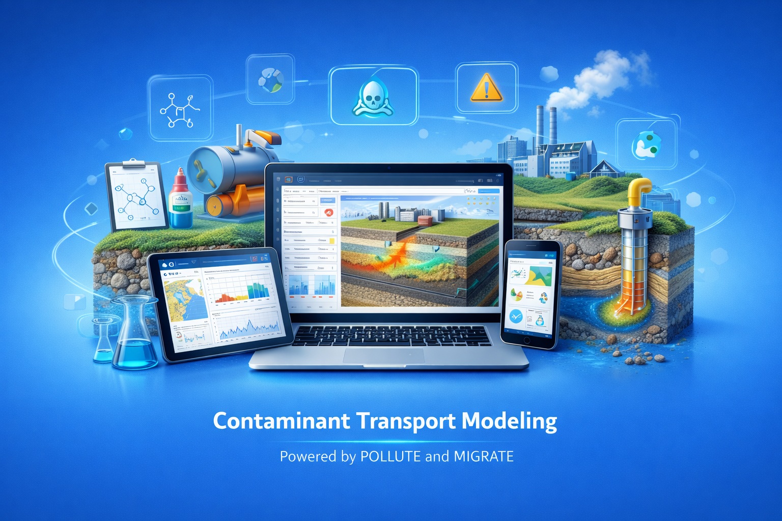
Evaluate contaminant transport using one-dimensional and two-dimensional modeling workflows.
Explore POLLUTE & MIGRATE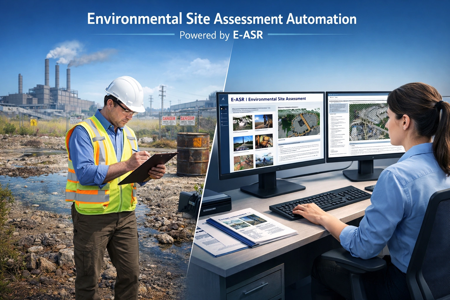
Prepare standardized environmental site assessment reports through a guided merge workflow.
Explore E-ASR
Access selected no-cost utilities and viewers for environmental and geoscience workflows.
Explore Free SoftwareGAEA products and services support the stages of a technical project while retaining professional review.
Enter, import or digitize field, laboratory and historical information.
Review supported records for structure, completeness and consistency.
Keep project locations, samples, tests and documents in context.
Correlate records and develop technically supported interpretations.
Use maps, contours, cross-sections, dashboards and 3D views.
Produce consistent logs, summaries, figures and review outputs.
Use applicable rules to identify structural issues, missing information, domain inconsistencies and relationships that require technical review.
Each application can involve more than one product. Choose the logging, data-management, interpretation or modeling solution that matches your role in the workflow.
Create investigation and monitoring-well logs in WinLoG, then manage stations, samples, laboratory results, criteria and reporting in EDMS.
Create investigation logs and field records in WinLoG, then manage laboratory measurements, calculations and reports in GDMS.
Record core, mineralization, structures, assays and photography in WinLoG, then correlate the subsurface interpretation in WinFence.
Capture formation tops, drilling curves, gas data and hydrocarbon shows in WinLoG, then present correlations and section context in WinFence.
Evaluate layered barriers, groundwater pathways and one- or two-dimensional contaminant migration with POLLUTE and MIGRATE.
Use structured questionnaires and customizable Word templates to prepare supported Phase I and Phase II environmental site assessment reports.
Every service begins with representative source material and a defined output, QA/QC scope, schedule and file-handling plan.
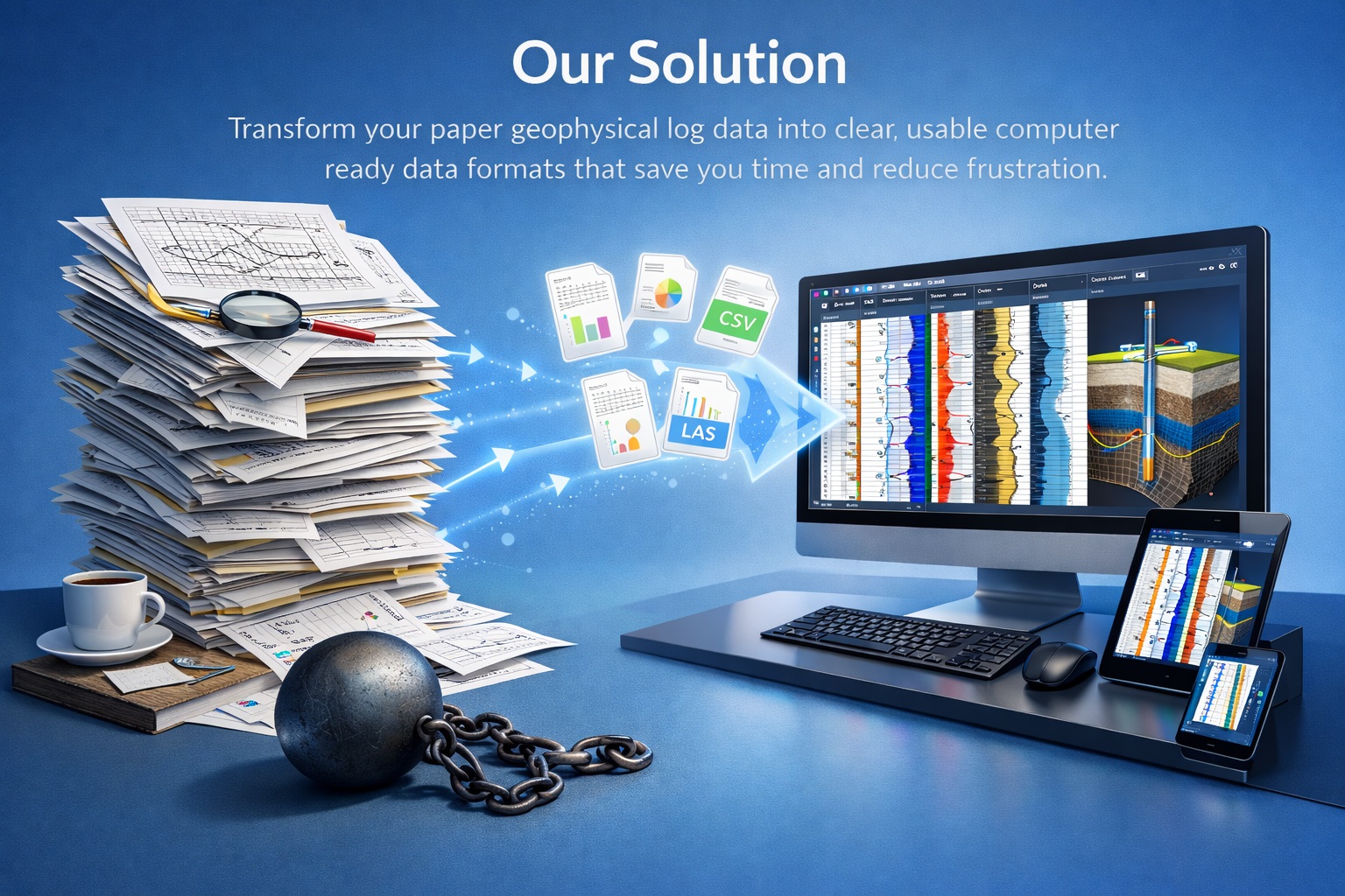
Paper, microfiche, PDF and scanned logs converted into structured curve data.
Review service details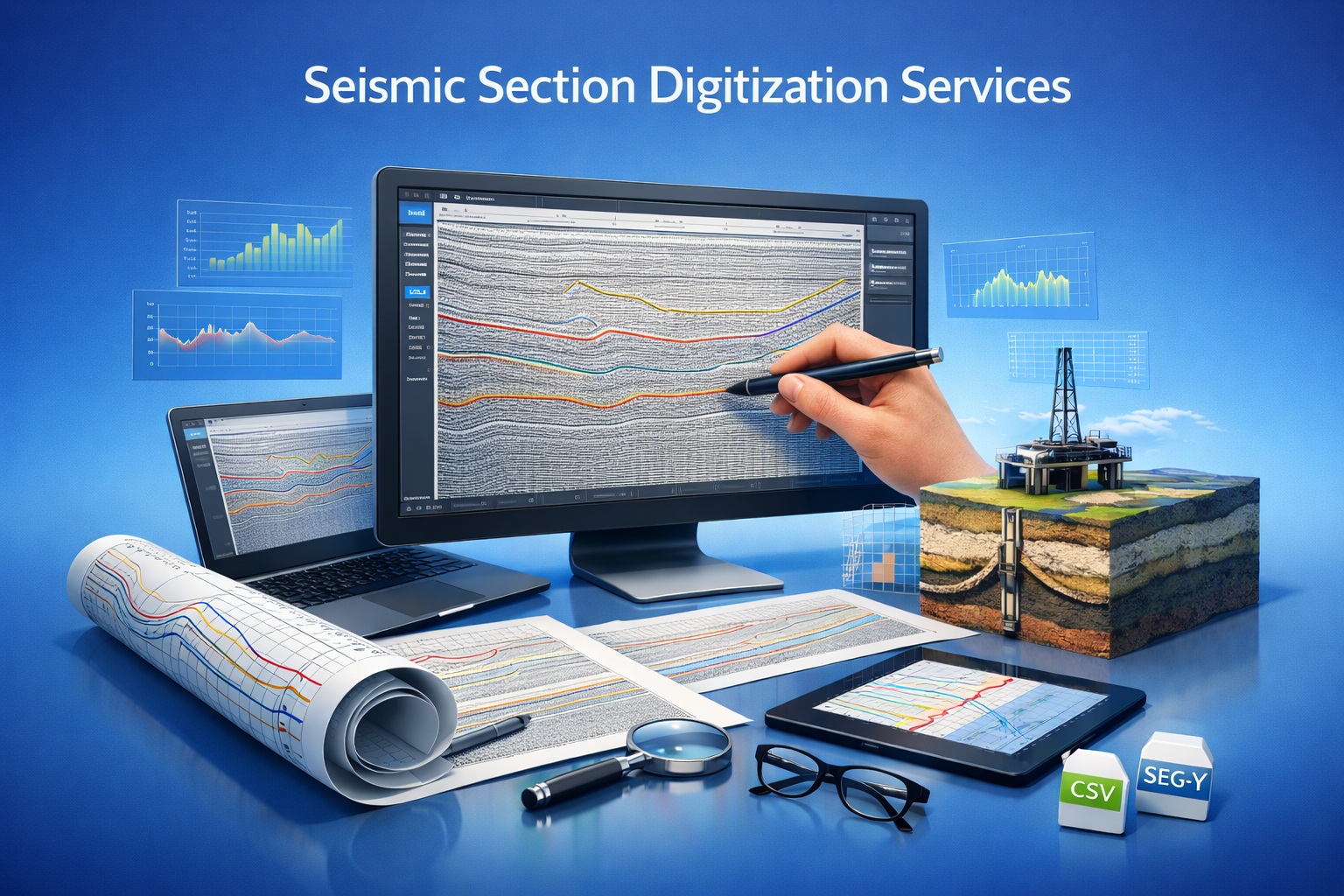
Legacy two-dimensional seismic-section images converted into digital trace information.
Review service details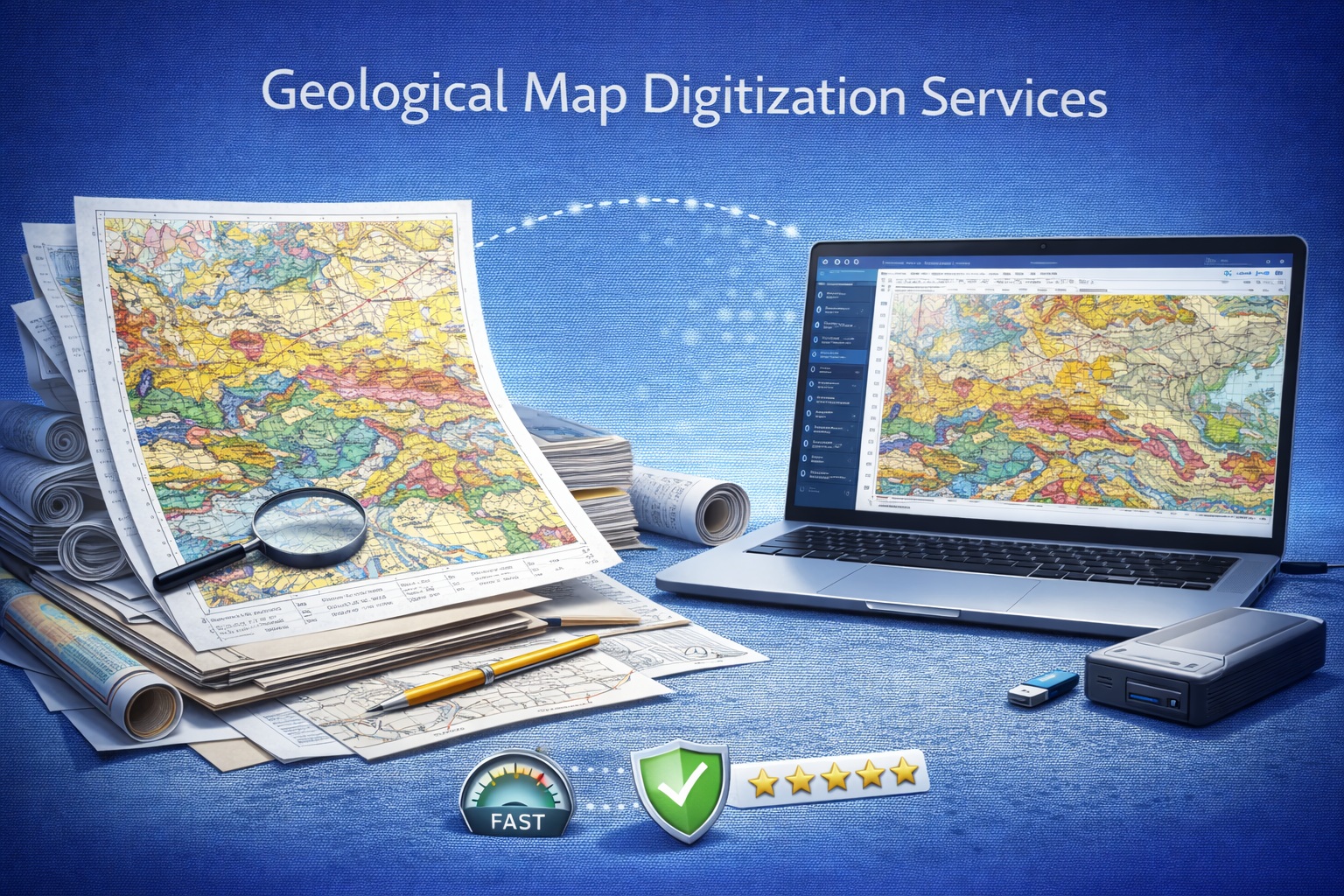
Paper, PDF and raster maps converted into project-defined geospatial layers.
Review service details
Historical well and drilling tickets converted into searchable, database-ready information.
Review service details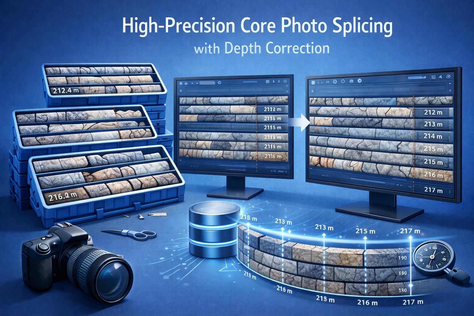
Core-box photographs assembled into continuous, depth-registered visual records.
Review service detailsSee how project information appears in logs, dashboards, cross-sections and reports.
Dashboards, GIS, surfaces, presentation sheets and 3D project views.
Browse examples

Geological cross-sections and fence diagrams across multiple applications.
Browse examples
Samples, trends, spatial context, criteria and connected project views.
Browse examplesExplore our published Software Development Roadmap for current priorities in migration, OCR-assisted digitization, governed QA/QC, GaeaSynergy visualization, AI-assisted support and multi-language capabilities.
Move directly to evaluation, learning, updates, maintenance or technical assistance.
Test representative project requirements before purchase.
Download demosRead technical guides covering products, QA/QC and applications.
Browse articlesReview updates or request annual maintenance for supported licenses.
Review updatesProvide product, version and reproducible context for a useful response.
Contact supportCompare capabilities, inspect real outputs and discuss licensing, migration, data services or training with GAEA.